Download:
| Tiny | 142x128 | View | Download |
| Small | 285x256 | View | Download |
| Medium | 571x512 | View | Download |
| Large | 1143x1024 | View | Download |
| Original | 1536x1376 | View | Download |
This image was acquired from
wikimedia. It was marked as Public Domain or CC0 and is free to use. To verify, go to the source and check the information there.
Looking for more info about this image?
Try a Google Reverse Image Search for it.
Try a Google Reverse Image Search for it.
Keywords from Image Description:
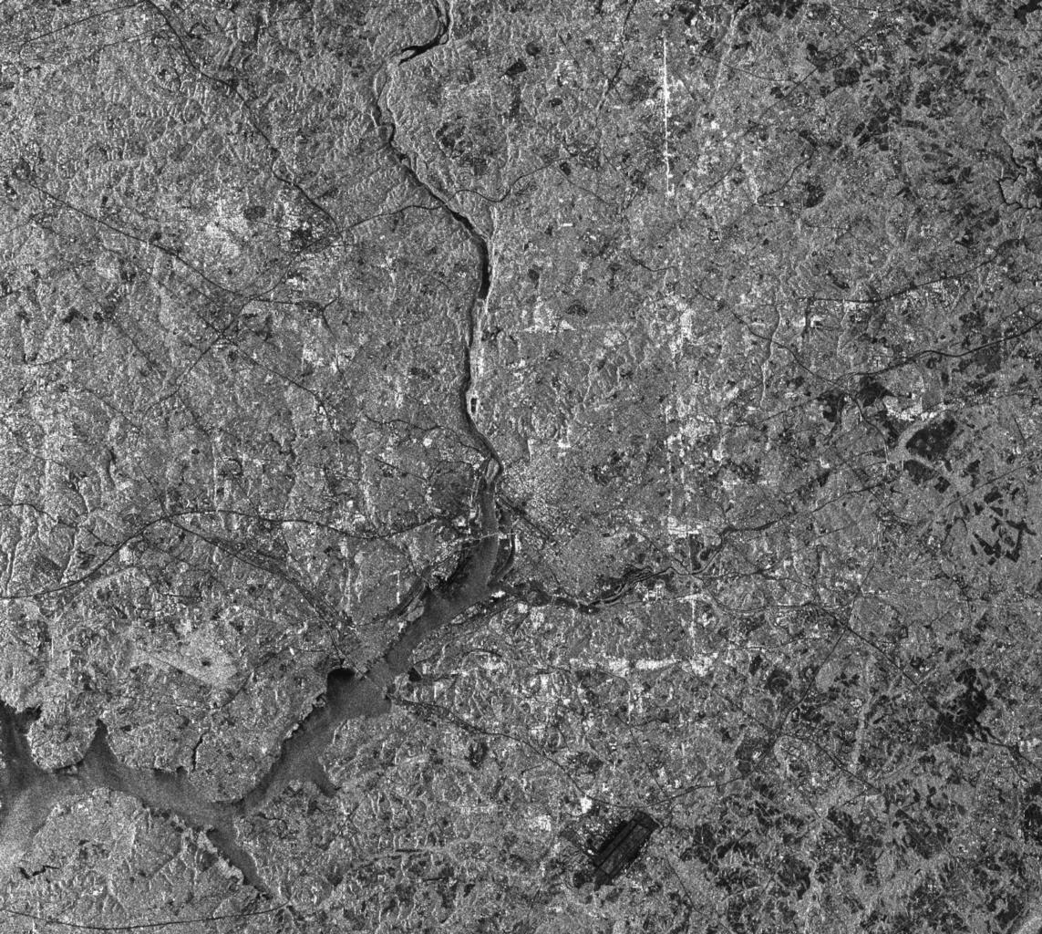
Space radar image of Washington D.C. DVIDS. en This radar image of the Washington area demonstrates the capability of imaging radar as useful tool for urban planners and managers to map and monitor land use patterns The image was acquired by the Spaceborne Imaging RadarC Synthetic Aperture Radar SIRC aboard the space shuttle Endeavour
