Download:
| Tiny | 140x128 | View | Download |
| Small | 280x256 | View | Download |
| Medium | 561x512 | View | Download |
| Original | 948x864 | View | Download |
This image was acquired from
wikimedia. It was marked as Public Domain or CC0 and is free to use. To verify, go to the source and check the information there.
Looking for more info about this image?
Try a Google Reverse Image Search for it.
Try a Google Reverse Image Search for it.
Keywords from Image Description:
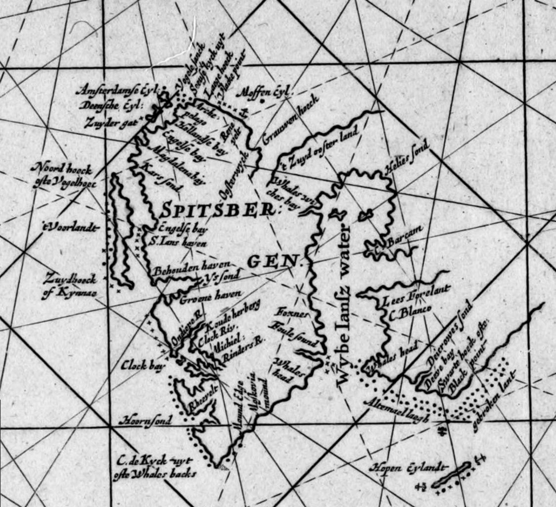
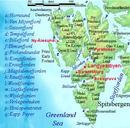
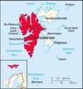
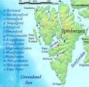
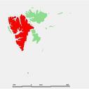
Spitsbergen . en Spitsbergen detail of th century Dutch map of the NorthEast Atlantic and Barents Sea The long Dutch name of the map translates more or less as Map of Russia Lapland Finmark Spitsbergen and Nova Zembla checked for news and improved with the river of Archangel Jan Mayen Island and part of Spitsbergen which are shown
