
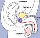
Related Images


Download:
| Tiny | 34x128 | View | Download |
| Small | 69x256 | View | Download |
| Medium | 138x512 | View | Download |
| Large | 277x1024 | View | Download |
| Original svg | 567x2091 | View | Download |
| Original as jpg | 567x2091 | View | Download |
This image was acquired from
wikimedia. It was marked as Public Domain or CC0 and is free to use. To verify, go to the source and check the information there.
Looking for more info about this image?
Try a Google Reverse Image Search for it.
Try a Google Reverse Image Search for it.
Keywords from Image Description:
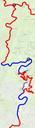
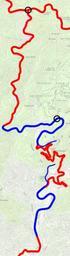
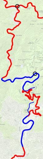
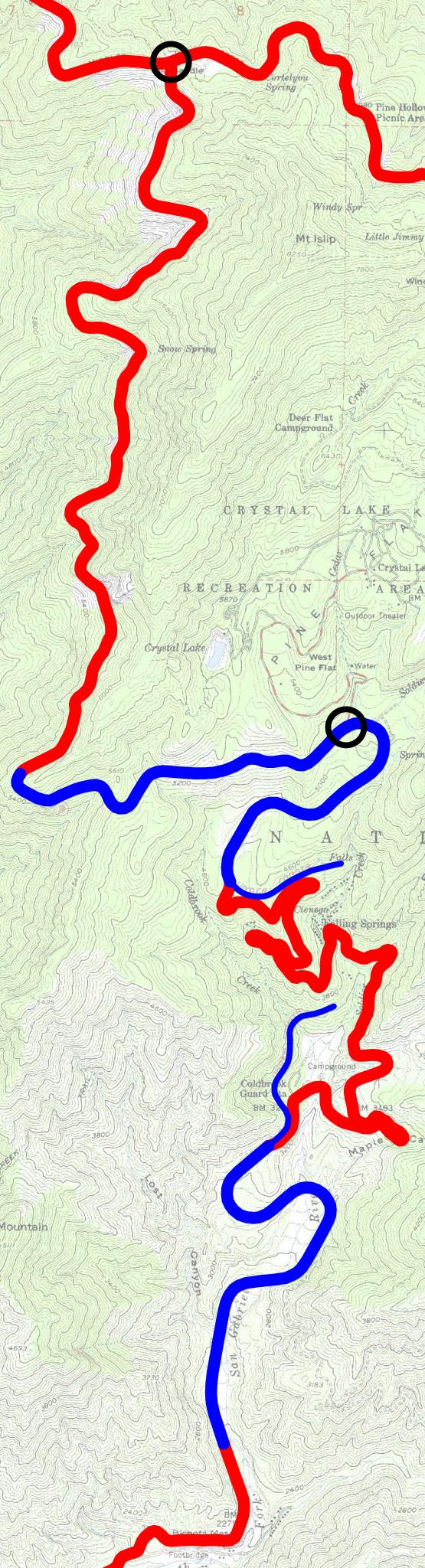
SR .svg For version that works see Image SR spuimap State Route traced on USGS topos public domain Red is older roads blue was reconstructed ca Thinner blue was never completed Black circles show the extent of the section closed since due to landslides This is not the Convict Road that includes the Bridge to Nowhere and two