
Related Images
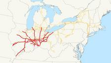
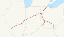
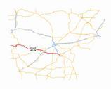


Download:
| Tiny | 139x128 | View | Download |
| Small | 279x256 | View | Download |
| Original svg | 545x499 | View | Download |
| Original as jpg | 545x499 | View | Download |
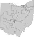
This image was acquired from
wikimedia. It was marked as Public Domain or CC0 and is free to use. To verify, go to the source and check the information there.
Looking for more info about this image?
Try a Google Reverse Image Search for it.
Try a Google Reverse Image Search for it.
Keywords from Image Description:
StAnnesHillHDMap.svg map of the St Anne's Historic District in Dayton Ohio created this map using Adobe Illustrator Kjmoran Dayton Ohio Historic districts in Montgomery County Ohio Maps of Montgomery County Ohio