Related Images


Download:
| Tiny | 79x128 | View | Download |
| Small | 159x256 | View | Download |
| Original png | 180x289 | View | Download |
| Original as jpg | 180x289 | View | Download |
This image was acquired from
wikimedia and wikimedia. It was marked as Public Domain or CC0 and is free to use. To verify, go to the source and check the information there.
Looking for more info about this image?
Try a Google Reverse Image Search for it.
Try a Google Reverse Image Search for it.
Keywords from Image Description:
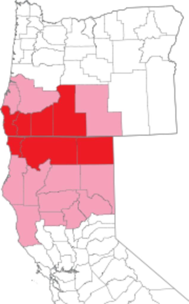
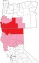
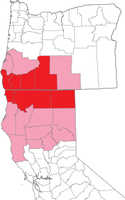
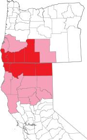
State of Jefferson svg. Map of Oregon and northern California showing counties proposed for inclusion in the State of Jefferson in made this with Illustrator the map vector outlines were extracted from public domain nationalatlas gov National Atlas congressional district maps Uploaded from english WP en State of Jefferson svg