
Related Images

Download:
| Tiny | 173x128 | View | Download |
| Small | 346x256 | View | Download |
| Medium | 693x512 | View | Download |
| Original | 811x599 | View | Download |
This image was acquired from
wikimedia. It was marked as Public Domain or CC0 and is free to use. To verify, go to the source and check the information there.
Looking for more info about this image?
Try a Google Reverse Image Search for it.
Try a Google Reverse Image Search for it.
Keywords from Image Description:
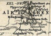
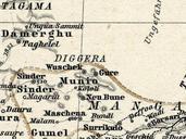
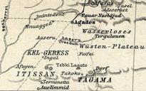
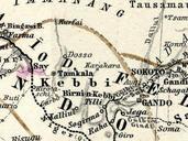
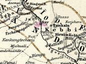
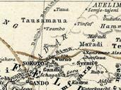
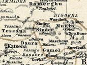
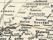
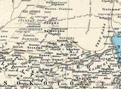
Stielers Handatlas Damagaram crop. Crop of German atlas West Africa showing what is today south east Niger and north east Nigeria Names are German spelling often archaic Map is centered on the Sultanate of Damagaram vasalate of the Bornu state Yellow lines mark border between Bornu and the allied emirates of the Sokoto Caliipate