
Related Images


Download:
| Tiny | 138x128 | View | Download |
| Small | 277x256 | View | Download |
| Medium | 555x512 | View | Download |
| Original | 993x916 | View | Download |
This image was acquired from
wikimedia. It was marked as Public Domain or CC0 and is free to use. To verify, go to the source and check the information there.
Looking for more info about this image?
Try a Google Reverse Image Search for it.
Try a Google Reverse Image Search for it.
Keywords from Image Description:
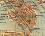
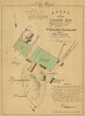
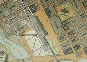
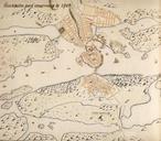
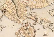
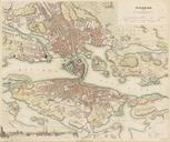
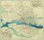
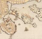
Stockholm karta cropped. en Historical map showing the central of Stockholm around in particular the area around Skeppsholmen and Kastellholmen The map is produced File Stockholmkarta Lidingo PDold Old map of Stockholm