
Related Images


Download:
| Tiny | 134x128 | View | Download |
| Small | 269x256 | View | Download |
| Medium | 539x512 | View | Download |
| Original | 580x550 | View | Download |
This image was acquired from
wikimedia. It was marked as Public Domain or CC0 and is free to use. To verify, go to the source and check the information there.
Looking for more info about this image?
Try a Google Reverse Image Search for it.
Try a Google Reverse Image Search for it.
Keywords from Image Description:
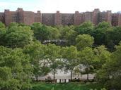
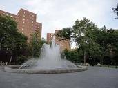
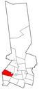
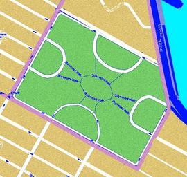
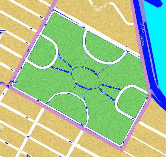
Stuyvesant Town NY. city map en Stuyvesant Town road and path network plan showing the looped streets and the connecting paths through the open space It is an example of the superblock concept and of the idea of filtered permeability own Fgrammen Stuyvesant Town Peter Cooper Village Street network Maps of Manhattan New York City