Related Images


Download:
| Tiny | 157x128 | View | Download |
| Small | 315x256 | View | Download |
| Medium | 630x512 | View | Download |
| Original | 838x681 | View | Download |
This image was acquired from
wikimedia. It was marked as Public Domain or CC0 and is free to use. To verify, go to the source and check the information there.
Looking for more info about this image?
Try a Google Reverse Image Search for it.
Try a Google Reverse Image Search for it.
Keywords from Image Description:
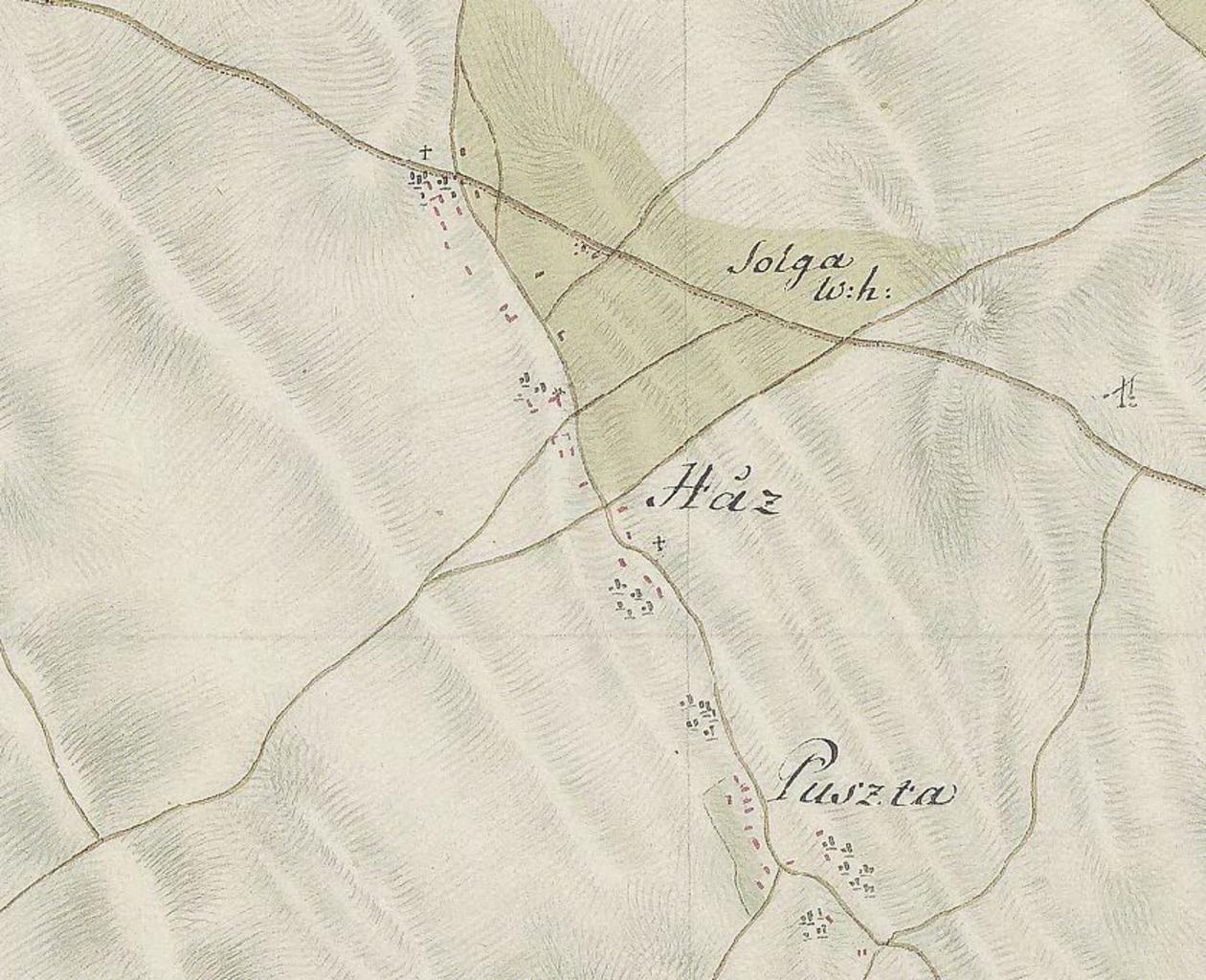
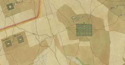
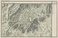
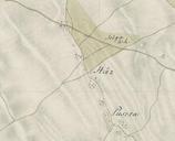
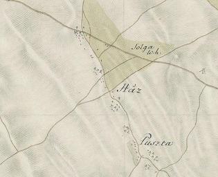
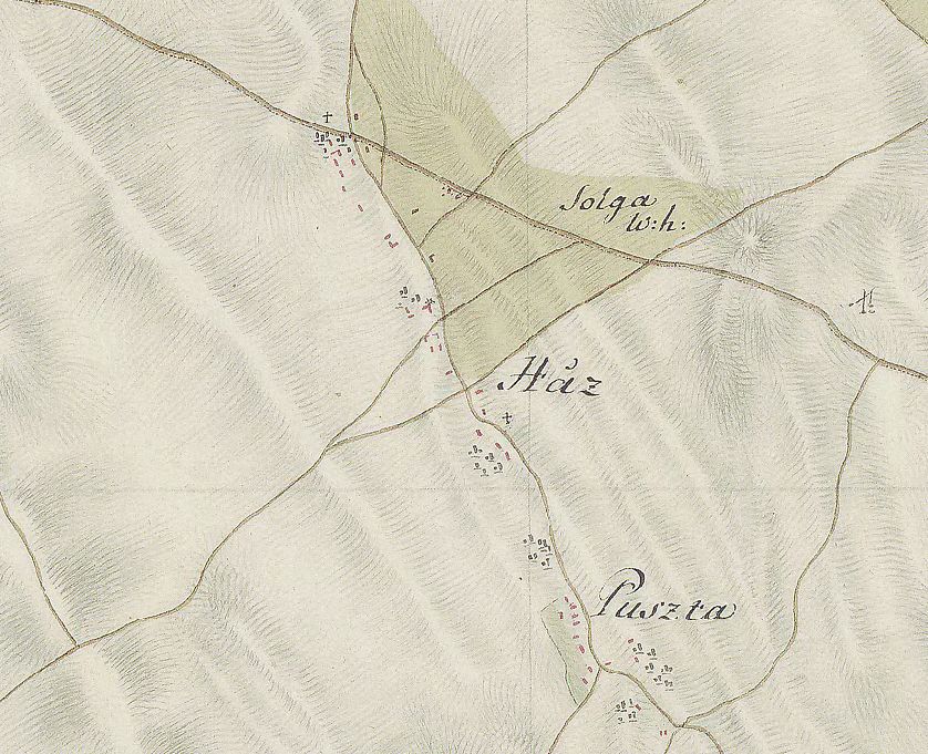
Szabadegyhzaelskatonaifelmrstrkpe. en The map of Szabadegyhza from the First Military Mapping Survey of Austria Empire hu Szabadegyhza az kztt ksztett jozefininus topogrfiai trkpen utikonyvem hu utikonyvem hu Military mapping authority of AustriaHungary Custom marker PDold Uploaded with Szabadegyhza First Military Mapping