
Related Images


Download:
| Tiny | 94x128 | View | Download |
| Small | 189x256 | View | Download |
| Medium | 378x512 | View | Download |
| Large | 757x1024 | View | Download |
| Original | 8774x11861 | View | Download |
This image was acquired from
wikimedia. It was marked as Public Domain or CC0 and is free to use. To verify, go to the source and check the information there.
Looking for more info about this image?
Try a Google Reverse Image Search for it.
Try a Google Reverse Image Search for it.
Keywords from Image Description:
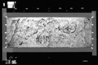
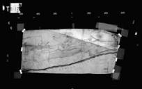
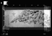
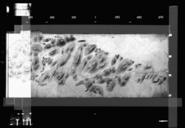
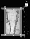
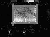
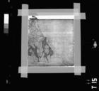
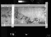
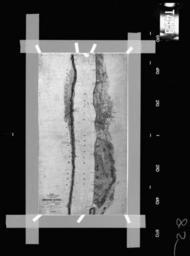
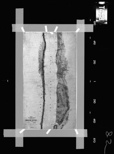
T. en This is historic map that is part of comprehensive coastal survey undertaken by NOAA US Federal Government from focusing on the Hudson River area This map is referred to as 'Tsheet' and is one of thousands of maps available from NOAA that have not yet been georeferenced NOAA Coastal Survey TSheets NOAA US Government other