
Related Images


Download:
| Tiny | 172x128 | View | Download |
| Small | 344x256 | View | Download |
| Medium | 688x512 | View | Download |
| Original | 800x595 | View | Download |
This image was acquired from
wikimedia. It was marked as Public Domain or CC0 and is free to use. To verify, go to the source and check the information there.
Looking for more info about this image?
Try a Google Reverse Image Search for it.
Try a Google Reverse Image Search for it.
Keywords from Image Description:
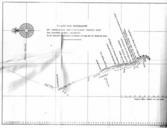
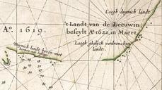
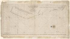
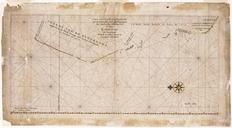
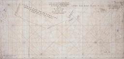
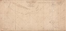
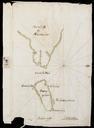
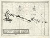
T Land Van Eendracht Emeloort. This is map showing the north west coast of Australia as charted by the Emeloort in This coastline was then known as The Land of Eendracht because it had previously been charted only by Dirk Hartog in the Eendracht in Project Gutenberg of Australia edition of Early Voyages in Terra Australis The image