Related Images
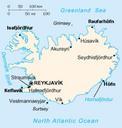
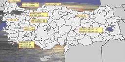
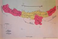
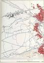


Download:
| Tiny | 162x128 | View | Download |
| Small | 324x256 | View | Download |
| Medium | 649x512 | View | Download |
| Original png | 816x643 | View | Download |
| Original as jpg | 816x643 | View | Download |
This image was acquired from
wikimedia. It was marked as Public Domain or CC0 and is free to use. To verify, go to the source and check the information there.
Looking for more info about this image?
Try a Google Reverse Image Search for it.
Try a Google Reverse Image Search for it.
Keywords from Image Description:
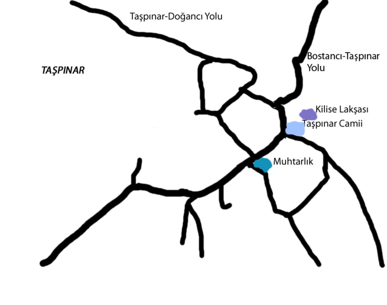
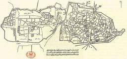
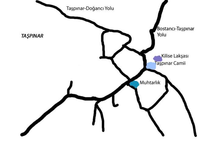
Tapnar Haritas. tr KKTC'deki Tapnar Angolemi kynn haritas Haritada sokaklarn yan sra muhtarlk gibi nemli yerler de gsterilmitir Google Maps ve Google Earth'e dayanarak retilmitir own Seksen iki yz krk be Maps of Northern Cyprus Angolemi