
Related Images


Download:
| Tiny | 134x128 | View | Download |
| Small | 268x256 | View | Download |
| Medium | 536x512 | View | Download |
| Original | 958x915 | View | Download |
This image was acquired from
wikimedia. It was marked as Public Domain or CC0 and is free to use. To verify, go to the source and check the information there.
Looking for more info about this image?
Try a Google Reverse Image Search for it.
Try a Google Reverse Image Search for it.
Keywords from Image Description:
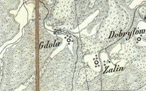
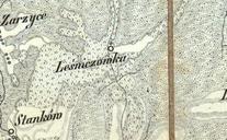
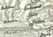
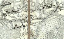
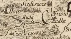
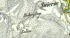
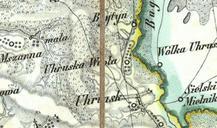
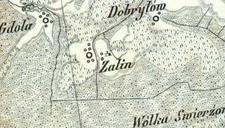
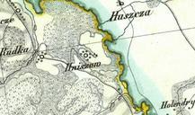
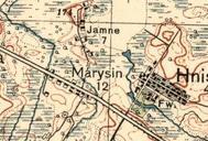
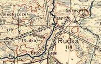
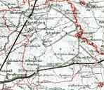
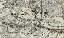
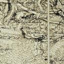
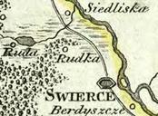
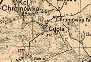
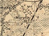
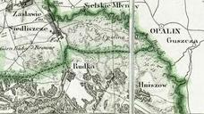
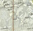
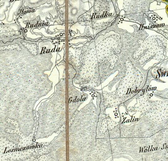
Tereny gminy Ruda Huta na mapie Reymanna XIX w.. pl Gmina Ruda Huta na mapie Reymanna XIX Zbiory wasne Daniel Reymann Pogoda PDArt Uploaded with Gmina RudaHuta Old maps of Poland Daniel Gottlob Reymann