Download:
| Tiny | 162x128 | View | Download |
| Small | 324x256 | View | Download |
| Medium | 648x512 | View | Download |
| Large | 1297x1024 | View | Download |
| Original | 5050x3985 | View | Download |
This image was acquired from
flickr. It was marked as Public Domain or CC0 and is free to use. To verify, go to the source and check the information there.
Looking for more info about this image?
Try a Google Reverse Image Search for it.
Try a Google Reverse Image Search for it.
Keywords from Image Description:
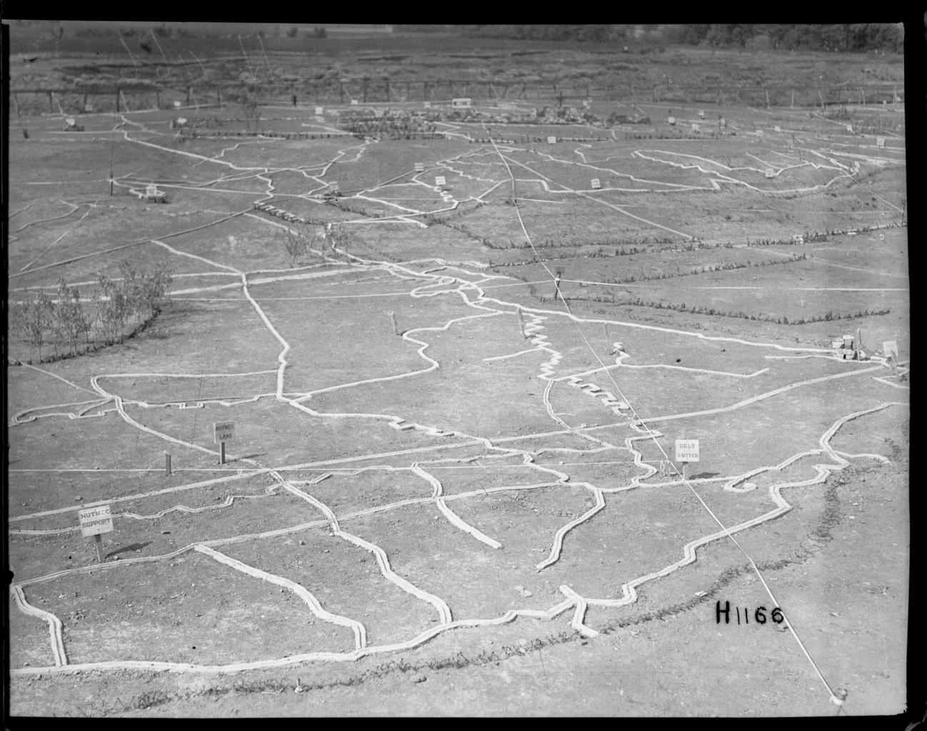
blackandwhite monochrome photo border text outdoor texture abstract black and white section of the huge detailed maps or models for planning the disposition of troops and so on at the New Zealand Divisional base in Etaples France during World War I. These are highly accurate showing the physical and human geography of the area eg.
