
Related Images


Download:
| Tiny | 172x128 | View | Download |
| Small | 344x256 | View | Download |
| Medium | 689x512 | View | Download |
| Original | 700x520 | View | Download |
This image was acquired from
wikimedia. It was marked as Public Domain or CC0 and is free to use. To verify, go to the source and check the information there.
Looking for more info about this image?
Try a Google Reverse Image Search for it.
Try a Google Reverse Image Search for it.
Keywords from Image Description:
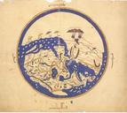
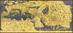
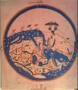
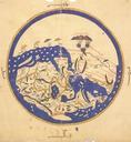
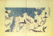
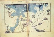
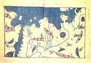
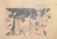
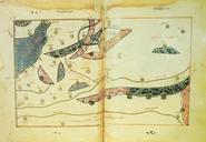
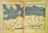
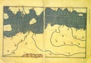
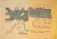
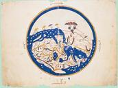
The map of alIdrisi dates from . en The map of alIdrisi dates from and is oriented with south at the top Note how the east coast of Africa in this map also turns east but does not connect with China rather it opens into the AllEncompassing Ocean Thus in the Ptolemaic view circumnavigation of Africa is impossible while in alIdrisi