
Related Images
Download:
| Tiny | 114x128 | View | Download |
| Small | 228x256 | View | Download |
| Medium | 456x512 | View | Download |
| Large | 913x1024 | View | Download |
| Original tiff | 4592x5147 | View | Download |
| Original as jpg | 4592x5147 | View | Download |
This image was acquired from
wikimedia. It was marked as Public Domain or CC0 and is free to use. To verify, go to the source and check the information there.
Looking for more info about this image?
Try a Google Reverse Image Search for it.
Try a Google Reverse Image Search for it.
Keywords from Image Description:
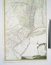
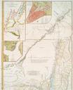
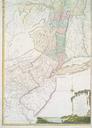
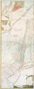
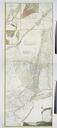
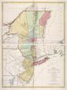
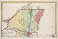
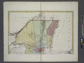
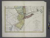
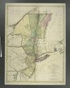
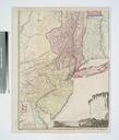
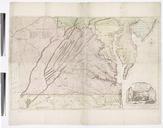
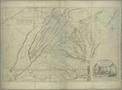
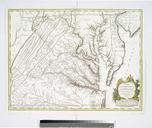
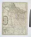
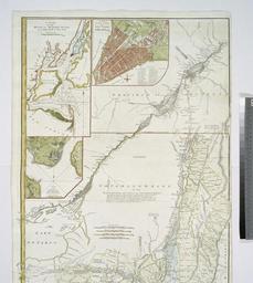
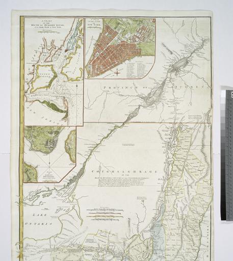
The provinces of New York and New Jersey with part of Pensilvania and the province of Quebec NYPL b. en Relief shown pictorially Citation LC Maps of North America Citation Phillips Shows administrative divisions Appears in Thomas Jeffery's American atlas Insets chart of the mouth of Hudson's River from Sandy Hook to New York