
Related Images


Download:
| Tiny | 185x128 | View | Download |
| Small | 370x256 | View | Download |
| Medium | 741x512 | View | Download |
| Large | 1483x1024 | View | Download |
| Original | 1920x1325 | View | Download |
This image was acquired from
wikimedia. It was marked as Public Domain or CC0 and is free to use. To verify, go to the source and check the information there.
Looking for more info about this image?
Try a Google Reverse Image Search for it.
Try a Google Reverse Image Search for it.
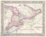
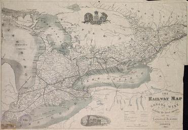
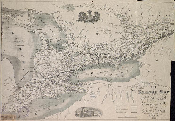
Keywords from Image Description:
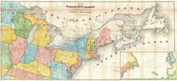
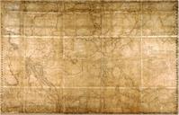
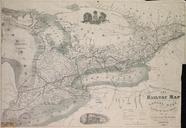
The railway map of Canada West including the latest surveys for the Canadian almanac. Canada West with counties and townships Shipping distances between few cities are also indicated vignette of locomotive is seen at the bottom of the map torontopubliclibrary ca jsp Entt RDMDCOHQMAPSSR DCOHQMAPSSR The railway map of Canada West