
Related Images


Download:
| Tiny | 160x128 | View | Download |
| Small | 320x256 | View | Download |
| Medium | 640x512 | View | Download |
| Large | 1280x1024 | View | Download |
| Original | 9435x7543 | View | Download |
This image was acquired from
wikimedia. It was marked as Public Domain or CC0 and is free to use. To verify, go to the source and check the information there.
Looking for more info about this image?
Try a Google Reverse Image Search for it.
Try a Google Reverse Image Search for it.
Keywords from Image Description:
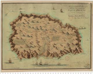
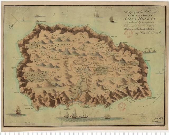
This Geographical Plan of the Island and forts of Saint Helen by Lt Read nd ed . en Old map of the island of Saint Helena commonly known as This Geographical plan of the island and forts of Saint Helena nd edition Note in the first edition Plantatation House was erroneously marked as residence of Napoleon Bonaparte de Historische