Related Images


Download:
| Tiny | 104x128 | View | Download |
| Small | 208x256 | View | Download |
| Medium | 417x512 | View | Download |
| Original | 489x600 | View | Download |
This image was acquired from
wikimedia. It was marked as Public Domain or CC0 and is free to use. To verify, go to the source and check the information there.
Looking for more info about this image?
Try a Google Reverse Image Search for it.
Try a Google Reverse Image Search for it.
Keywords from Image Description:
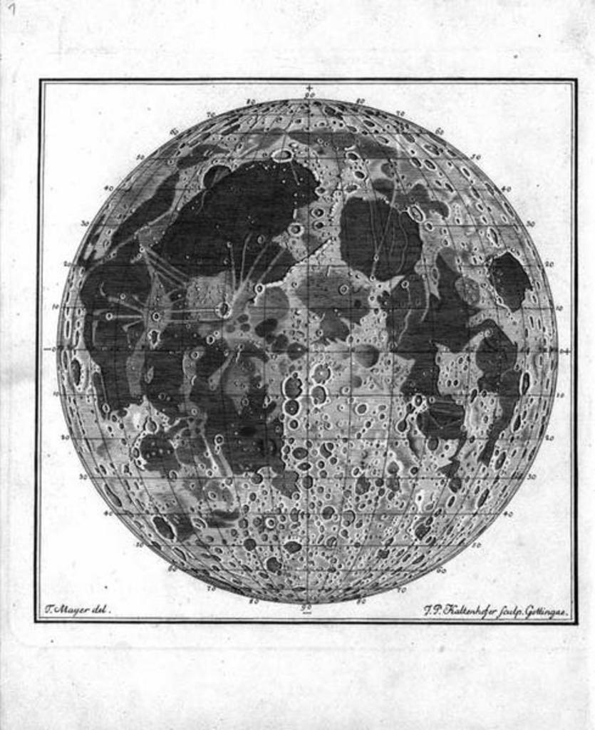
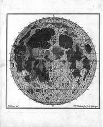
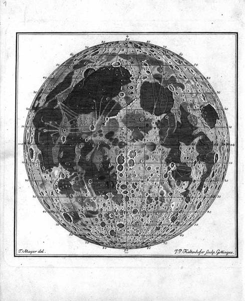
Tobiasmayermoonmap. Georg Christoph Lichtenberg in in collection of Mayer's unpublished work It was the first map of the Moon with coordinate grid Though Mayer put great value on accurate positions the grid was not in his original drawing It was added by Kaltenhofer on Lichtenberg's instigation Reference lpod org pageid lpod