Related Images
Download:
| Tiny | 77x128 | View | Download |
| Small | 155x256 | View | Download |
| Medium | 311x512 | View | Download |
| Large | 622x1024 | View | Download |
| Original svg | 730x1200 | View | Download |
| Original as jpg | 730x1200 | View | Download |
This image was acquired from
wikimedia. It was marked as Public Domain or CC0 and is free to use. To verify, go to the source and check the information there.
Looking for more info about this image?
Try a Google Reverse Image Search for it.
Try a Google Reverse Image Search for it.
Keywords from Image Description:
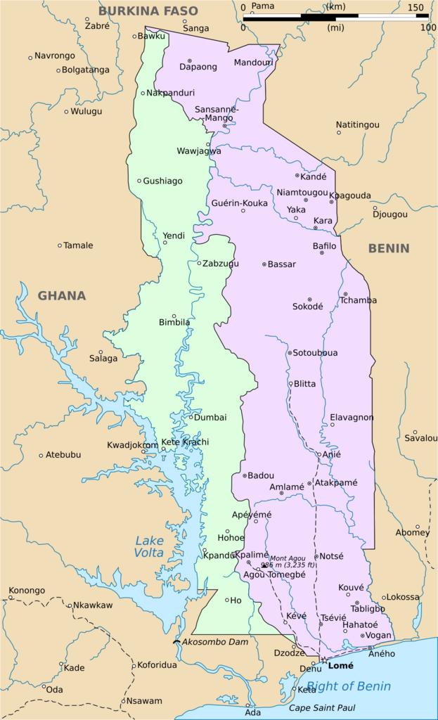
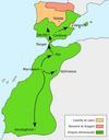
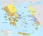
Togoland.svg Map of Togoland showing delimitation between French and British Togoland File Togo Deutsches Koloniallexikon Verlag von Quelle Meyer Leipzig File Togo political map CIA User Nostrifikator File Togoland Created with Inkscape Translate yes Maps of Togoland Maps of British Togo Maps of French Togo