
Related Images


Download:
| Tiny | 128x128 | View | Download |
| Small | 256x256 | View | Download |
| Medium | 512x512 | View | Download |
| Original png | 600x600 | View | Download |
| Original as jpg | 600x600 | View | Download |
This image was acquired from
wikimedia. It was marked as Public Domain or CC0 and is free to use. To verify, go to the source and check the information there.
Looking for more info about this image?
Try a Google Reverse Image Search for it.
Try a Google Reverse Image Search for it.
Keywords from Image Description:
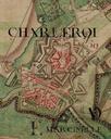
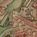
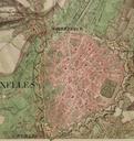
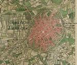
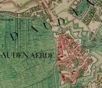
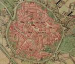
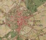
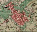
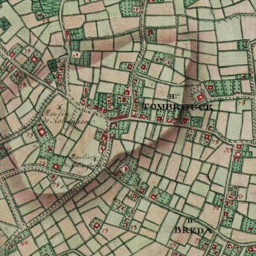
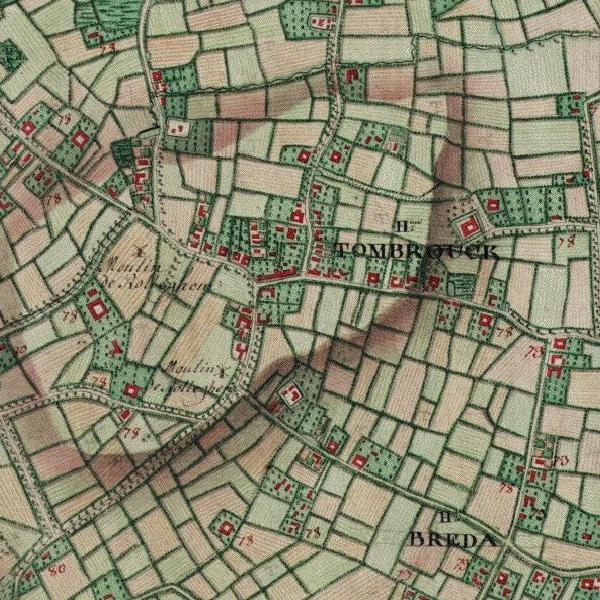
Tombrouck Ferraris map . Tombrouck Hameau partag entre Luingne Mouscron et Rollegem Courtrai en Belgique sur la Carte de Cabinet des PaysBas autrichiens br La carte de Cabinet des PaysBas autrichiens leve sous la direction du comte de Ferraris entre et Il s'agit d'un document militaire ralis en trois exemplaires et dont l'chelle