
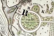
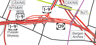
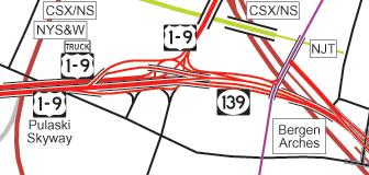
Related Images


Download:
| Tiny | 268x128 | View | Download |
| Original png | 336x160 | View | Download |
| Original as jpg | 336x160 | View | Download |
This image was acquired from
wikimedia. It was marked as Public Domain or CC0 and is free to use. To verify, go to the source and check the information there.
Looking for more info about this image?
Try a Google Reverse Image Search for it.
Try a Google Reverse Image Search for it.
Keywords from Image Description:
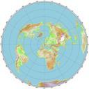
Tonnelle Circle map. spuimap map of Tonnelle Circle at the east end of the Pulaski Skyway Created by User SPUI traced on USGS topo maps and aerials Tonnelle Circle Road maps of New Jersey