
Related Images


Download:
| Tiny | 126x128 | View | Download |
| Small | 252x256 | View | Download |
| Medium | 505x512 | View | Download |
| Large | 1010x1024 | View | Download |
| Original | 5429x5500 | View | Download |
This image was acquired from
wikimedia. It was marked as Public Domain or CC0 and is free to use. To verify, go to the source and check the information there.
Looking for more info about this image?
Try a Google Reverse Image Search for it.
Try a Google Reverse Image Search for it.
Keywords from Image Description:
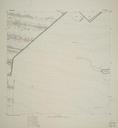
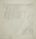
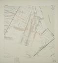
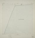
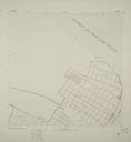
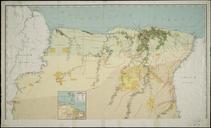
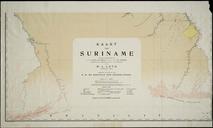
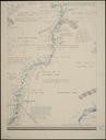
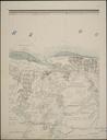
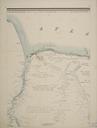
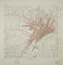
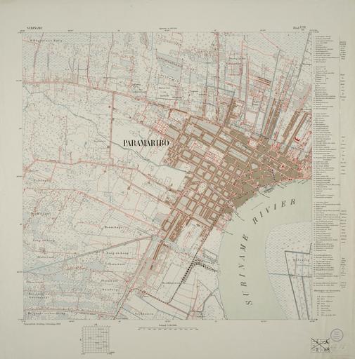
Topografische Kaart van Suriname Blad VII d. en Map of Paramaribo scale nl De hoofdmetingen voor deze Topografische Kaart van Suriname vonden plaats in de periode door de Opnemingsbrigade onder leiding van Gouvernementslandmeter Spirlet Op de ambitieuze schaal van was in ha door de topografen opgenomen hetgeen slechts