Related Images


Download:
| Tiny | 188x128 | View | Download |
| Small | 377x256 | View | Download |
| Medium | 754x512 | View | Download |
| Large | 1509x1024 | View | Download |
| Original tiff | 7230x4904 | View | Download |
| Original as jpg | 7230x4904 | View | Download |
This image was acquired from
wikimedia. It was marked as Public Domain or CC0 and is free to use. To verify, go to the source and check the information there.
Looking for more info about this image?
Try a Google Reverse Image Search for it.
Try a Google Reverse Image Search for it.
Keywords from Image Description:
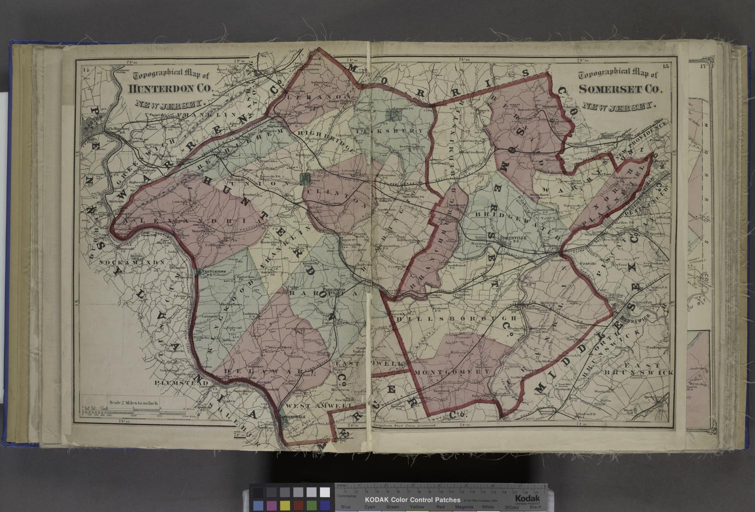
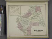
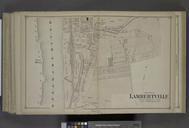
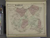
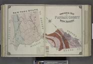
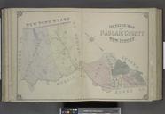
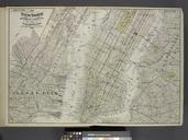
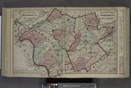
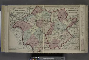
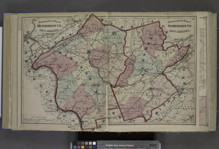
Topographical Map of Hunterdon Co. New Jersey. Topographical Map of Somerset Co. New Jersey. NYPL. Topographical Map of Hunterdon Co New Jersey Topographical Map of Somerset Co New Jersey Atlases of the United States New Jersey Atlas of Hunterdon County New Jersey from recent and actual surveys and records under the superintendence