Related Images


Download:
| Tiny | 164x128 | View | Download |
| Small | 328x256 | View | Download |
| Original png | 596x465 | View | Download |
| Original as jpg | 596x465 | View | Download |
This image was acquired from
wikimedia. It was marked as Public Domain or CC0 and is free to use. To verify, go to the source and check the information there.
Looking for more info about this image?
Try a Google Reverse Image Search for it.
Try a Google Reverse Image Search for it.
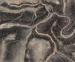
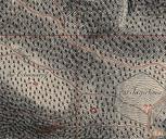
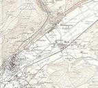
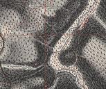
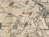
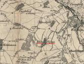
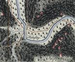
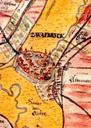
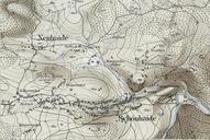
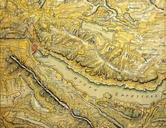
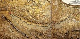
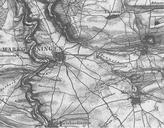
Keywords from Image Description:
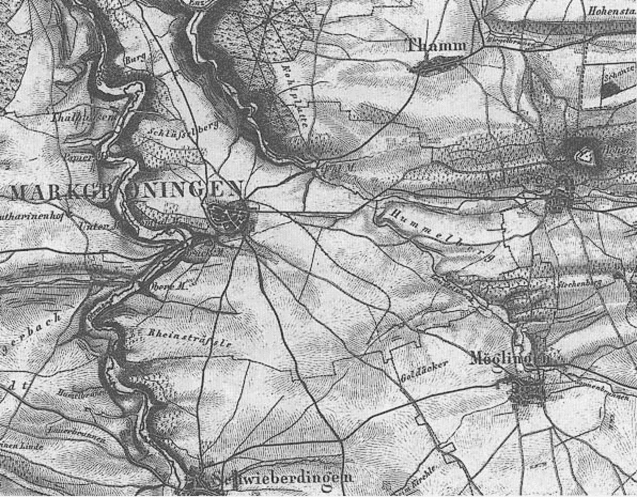
Topographischer Atlas des Knigreichs Wrttemberg Ausschnitt aus Blatt Jahr . de Topographischer Atlas des Knigreichs Wrttemberg Ausschnitt aus Blatt Jahr mit den Orten Markgrningen Schwieberdingen Thamm Tamm und Mglingen lvbw de htm www lvbw de lvbw de Grafikadresse author PDArt Topographischer Atlas des Knigreichs Wrttemberg