Related Images


Download:
| Tiny | 128x128 | View | Download |
| Small | 256x256 | View | Download |
| Medium | 512x512 | View | Download |
| Original | 1024x1024 | View | Download |
This image was acquired from
wikimedia. It was marked as Public Domain or CC0 and is free to use. To verify, go to the source and check the information there.
Looking for more info about this image?
Try a Google Reverse Image Search for it.
Try a Google Reverse Image Search for it.
Keywords from Image Description:
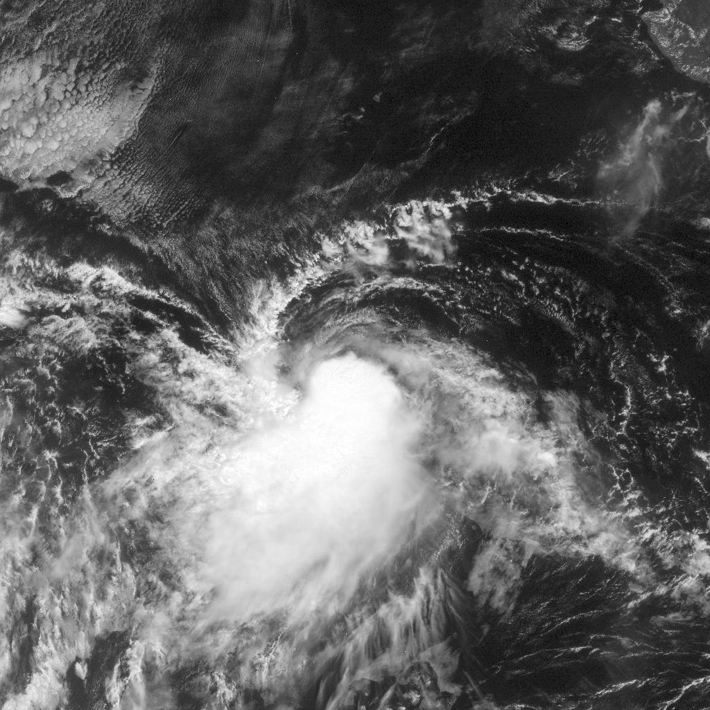
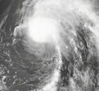
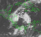
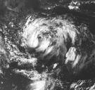
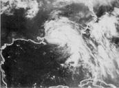
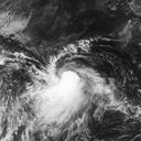
Tropical Storm Kay . This image of Tropical Storm Kay was captured by the GOES satellite on October at UTC Kay was located in the Pacific Ocean with peak intensity winds of mph and minimum pressure of approximately mb nrlmry navy mil html Naval Research Laboratory PDUSGovMilitaryNavy NRL images of tropical cyclones Pacific