
Related Images
Download:
| Tiny | 151x128 | View | Download |
| Small | 302x256 | View | Download |
| Medium | 604x512 | View | Download |
| Large | 1208x1024 | View | Download |
| Original | 4417x3742 | View | Download |
This image was acquired from
wikimedia. It was marked as Public Domain or CC0 and is free to use. To verify, go to the source and check the information there.
Looking for more info about this image?
Try a Google Reverse Image Search for it.
Try a Google Reverse Image Search for it.
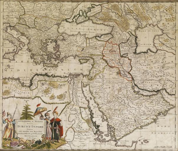
Keywords from Image Description:
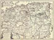
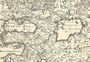
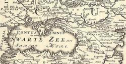
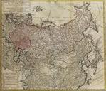
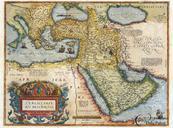
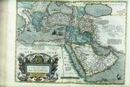
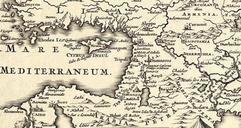
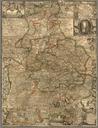
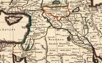
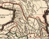
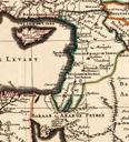
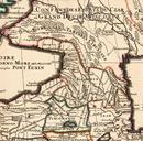
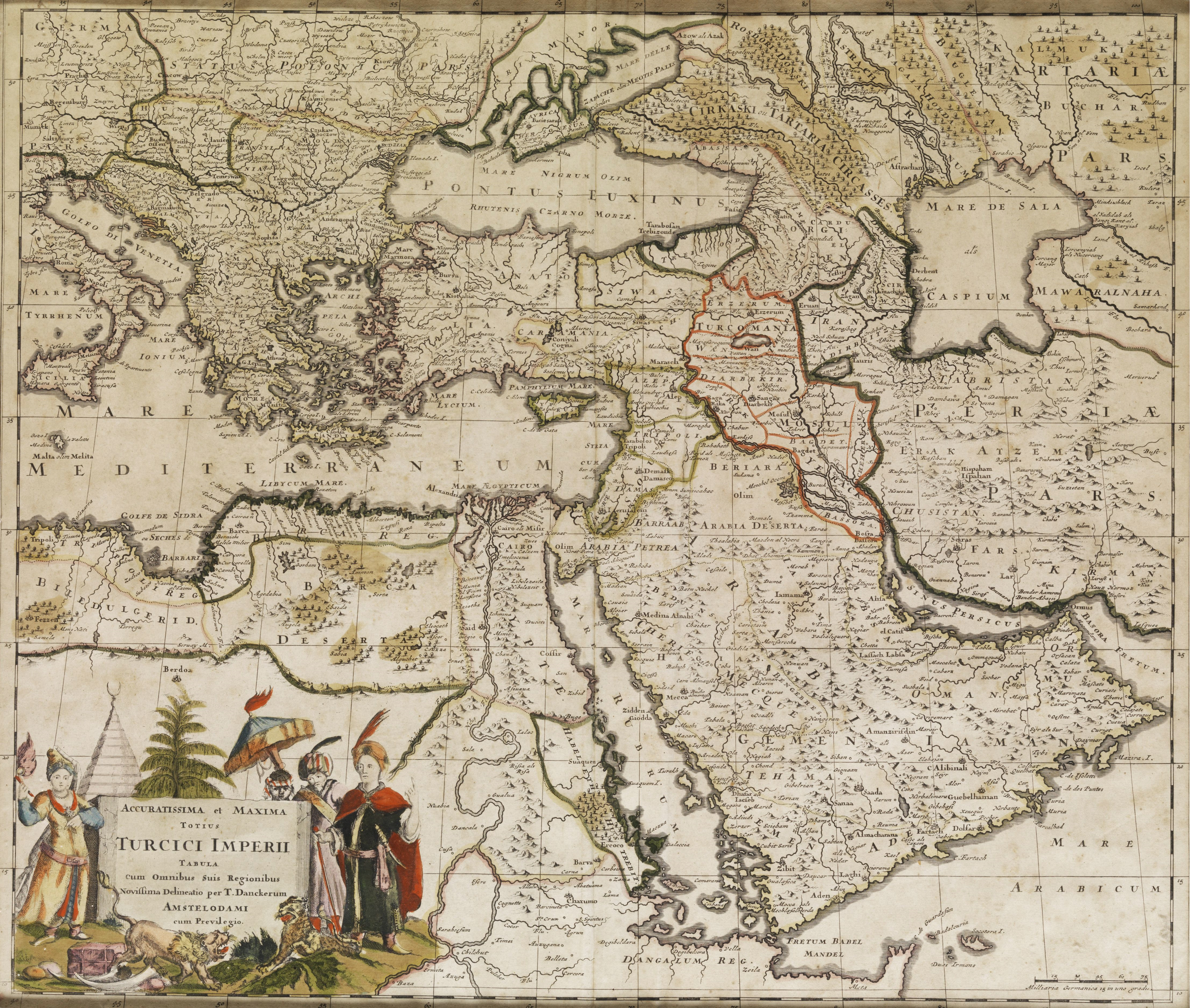
Turcici imperii tabula Ottoman Empire. Accuratissima et maxima totius turcici imperii Tabula Landkarte des osmanischen Reichs Herausgegeben bei Dancker Amsterdam Jahrhundert cm hampelauctions century published at Dancker Amsterdam PDold Old maps of the Ottoman Empire Images from Hampel Auctions