
Related Images


Download:
| Tiny | 192x128 | View | Download |
| Small | 384x256 | View | Download |
| Original gif | 720x480 | View | Download |
| Original as jpg | 720x480 | View | Download |
This image was acquired from
wikimedia. It was marked as Public Domain or CC0 and is free to use. To verify, go to the source and check the information there.
Looking for more info about this image?
Try a Google Reverse Image Search for it.
Try a Google Reverse Image Search for it.
Keywords from Image Description:
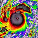
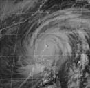
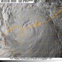
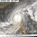
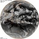
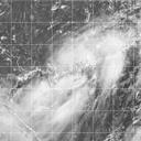
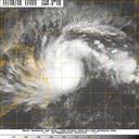
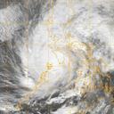
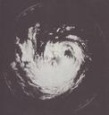
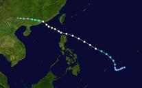
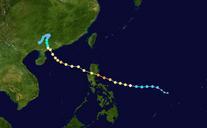
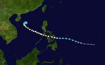
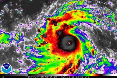
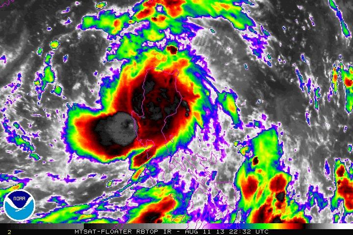
Typhoon Utor making landfall. en Animated enhanced infrared satellite loop of Typhoon Utor also known as Typhoon Labuyo in the Philippines from UTC on August to UTC August These images show the storm at peak intensity and making landfall in the Luzon ssd noaa gov National Oceanic and Atmospheric Administration Satellite