
Related Images


Download:
| Tiny | 155x128 | View | Download |
| Small | 311x256 | View | Download |
| Medium | 623x512 | View | Download |
| Large | 1246x1024 | View | Download |
| Original tiff | 11976x9838 | View | Download |
| Original as jpg | 11976x9838 | View | Download |
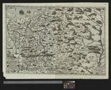
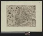
This image was acquired from
wikimedia. It was marked as Public Domain or CC0 and is free to use. To verify, go to the source and check the information there.
Looking for more info about this image?
Try a Google Reverse Image Search for it.
Try a Google Reverse Image Search for it.
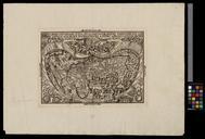
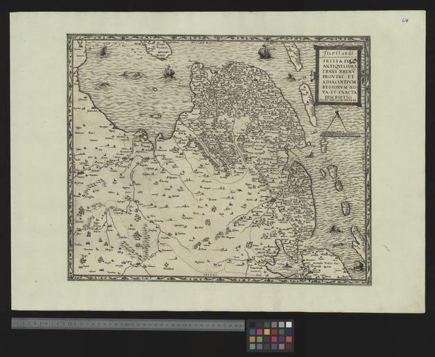
Keywords from Image Description:
UBBasel Map Kartenslg AA .tif Frieslandt Frisiae antiquissimae trans Rhenum Provinc et adiacentium regionum nova et exacta descriptio Gerard de Jode cm help warp Institution Basel University Library lat map date Kupferstich Westorientiert Titelkartusche und Massstab Milliaria Phrisia oben rechts other fields other versions