
Related Images

Download:
| Tiny | 204x128 | View | Download |
| Small | 409x256 | View | Download |
| Medium | 819x512 | View | Download |
| Large | 1639x1024 | View | Download |
| Original tiff | 10991x6865 | View | Download |
| Original as jpg | 10991x6865 | View | Download |
This image was acquired from
wikimedia. It was marked as Public Domain or CC0 and is free to use. To verify, go to the source and check the information there.
Looking for more info about this image?
Try a Google Reverse Image Search for it.
Try a Google Reverse Image Search for it.
Keywords from Image Description:
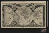
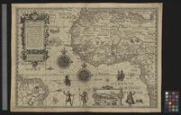
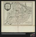
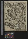
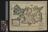
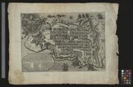
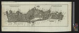
UBBasel Map Kartenslg Mappe .tif Haec tabella hydrographice oras maritimas Africae promontorio dicto Capo de Cantin Angloam usque ob oculos ponit cum situ insularum Hesperidum vel Promontorij viridis vulg del Capo Verde Petrus Plancius Ioannes Doetechum fecit cm help warp Institution Basel University Library lat map date