
Related Images


Download:
| Tiny | 112x128 | View | Download |
| Small | 225x256 | View | Download |
| Medium | 451x512 | View | Download |
| Large | 902x1024 | View | Download |
| Original | 1024x1162 | View | Download |
This image was acquired from
wikimedia. It was marked as Public Domain or CC0 and is free to use. To verify, go to the source and check the information there.
Looking for more info about this image?
Try a Google Reverse Image Search for it.
Try a Google Reverse Image Search for it.
Keywords from Image Description:
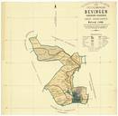
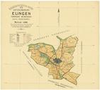
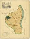
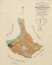
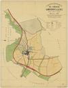
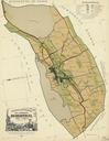
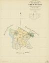
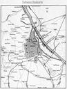
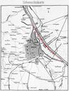
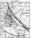
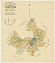
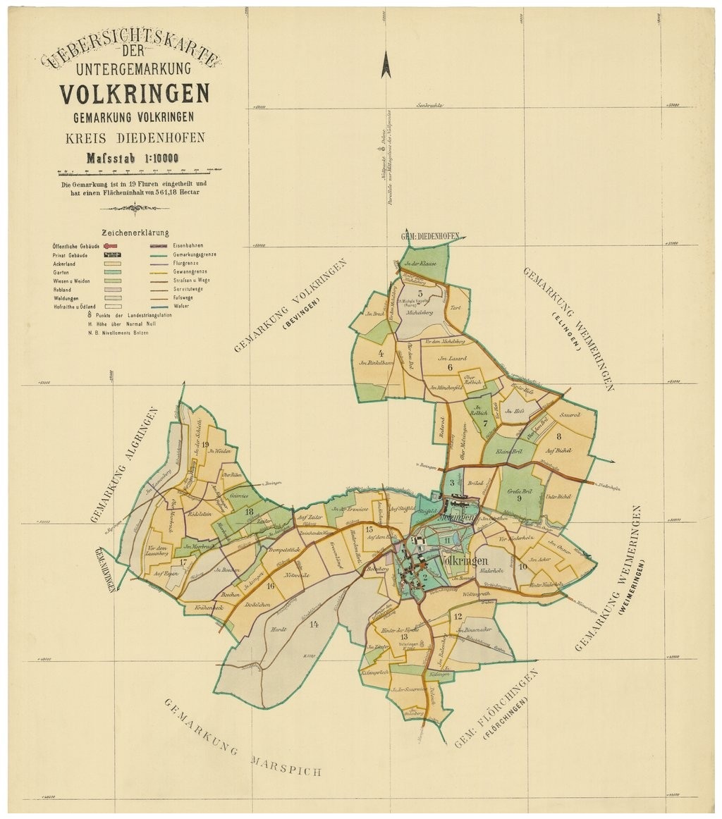
Uebersichtskarte der Untergemarkung Volkringen . fr Plans cadastraux France Volkrange Moselle Cadastre tabli en revu en de Uebersichtskarte der Untergemarkung Volkringen Gemarkung Volkringen Kreis Diedenhofen Bibliothque nationale de France bnf fr author Droits domaine public other versions PDold Volkrange Cadastral maps