Related Images


Download:
| Tiny | 96x128 | View | Download |
| Small | 192x256 | View | Download |
| Medium | 384x512 | View | Download |
| Original png | 712x948 | View | Download |
| Original as jpg | 712x948 | View | Download |
This image was acquired from
wikimedia. It was marked as Public Domain or CC0 and is free to use. To verify, go to the source and check the information there.
Looking for more info about this image?
Try a Google Reverse Image Search for it.
Try a Google Reverse Image Search for it.
Keywords from Image Description:
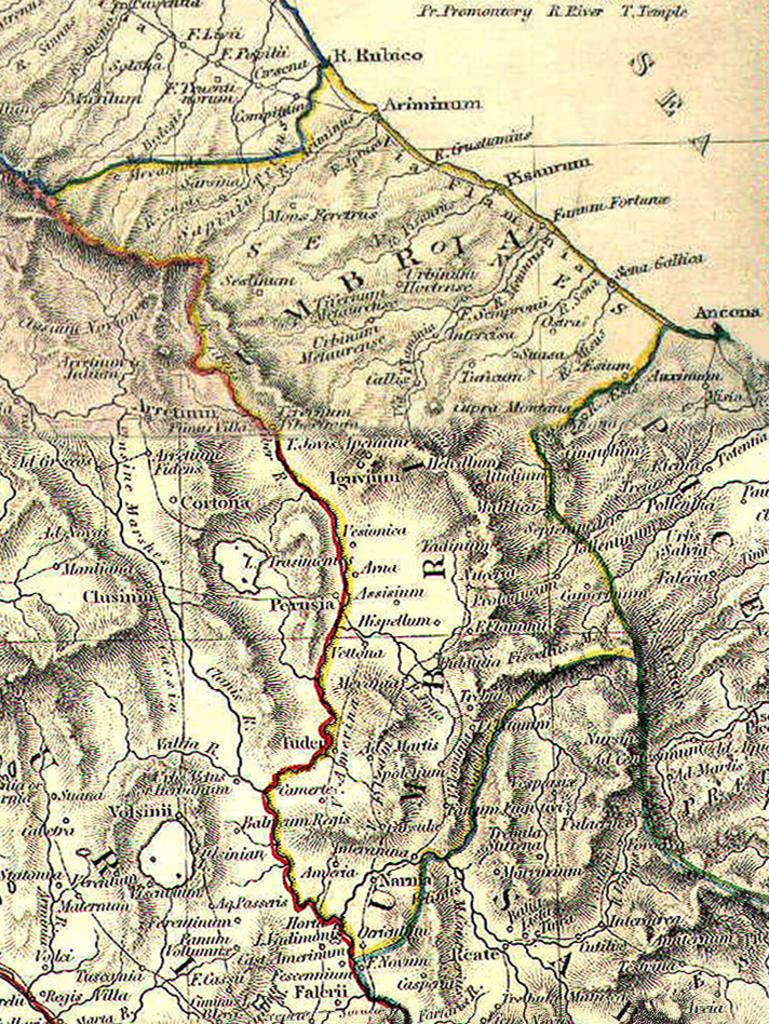
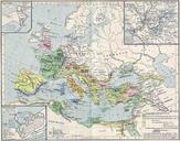
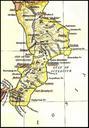
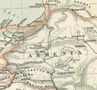
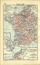
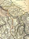
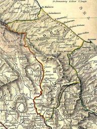
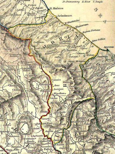
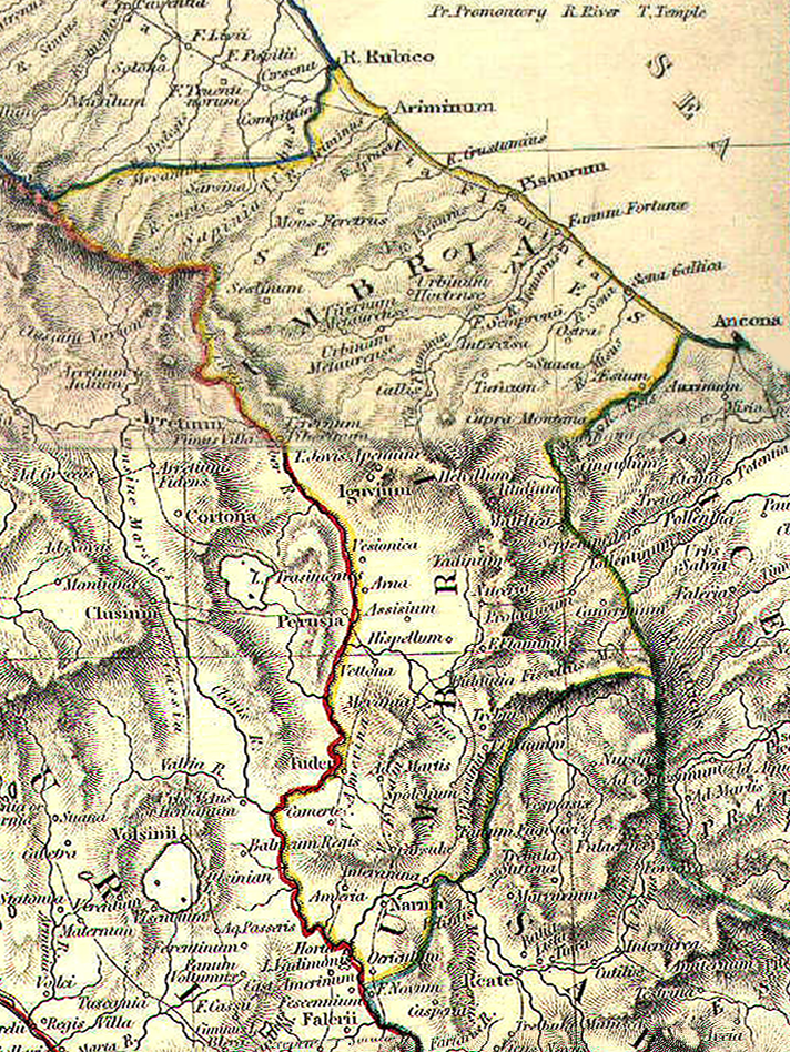
Umbria da The Historical Atlas by William R. Shepherd . en Reference map for Umbria et Ager Gallicus from The Historical Atlas by William Shepherd it Mappa di riferimento per Umbria et Ager Gallicus da The Historical Atlas di William Shepherd Own GliPanteco Fireworks Maps of Roman provinces Old maps of Umbria Ager Gallicus