
Related Images


Download:
| Tiny | 223x128 | View | Download |
| Small | 447x256 | View | Download |
| Medium | 895x512 | View | Download |
| Original svg | 1119x640 | View | Download |
| Original as jpg | 1119x640 | View | Download |
This image was acquired from
wikimedia. It was marked as Public Domain or CC0 and is free to use. To verify, go to the source and check the information there.
Looking for more info about this image?
Try a Google Reverse Image Search for it.
Try a Google Reverse Image Search for it.
Keywords from Image Description:
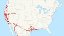
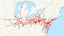
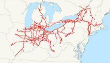
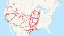
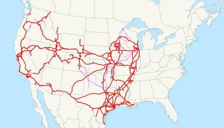
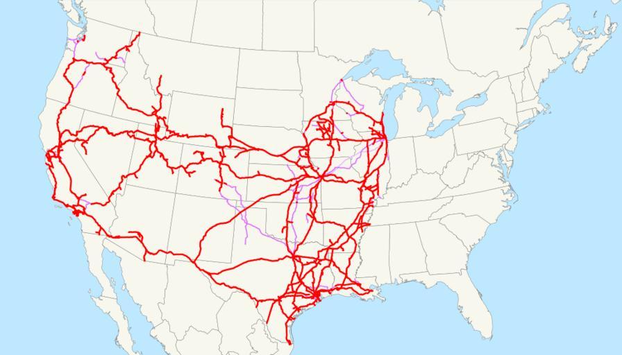
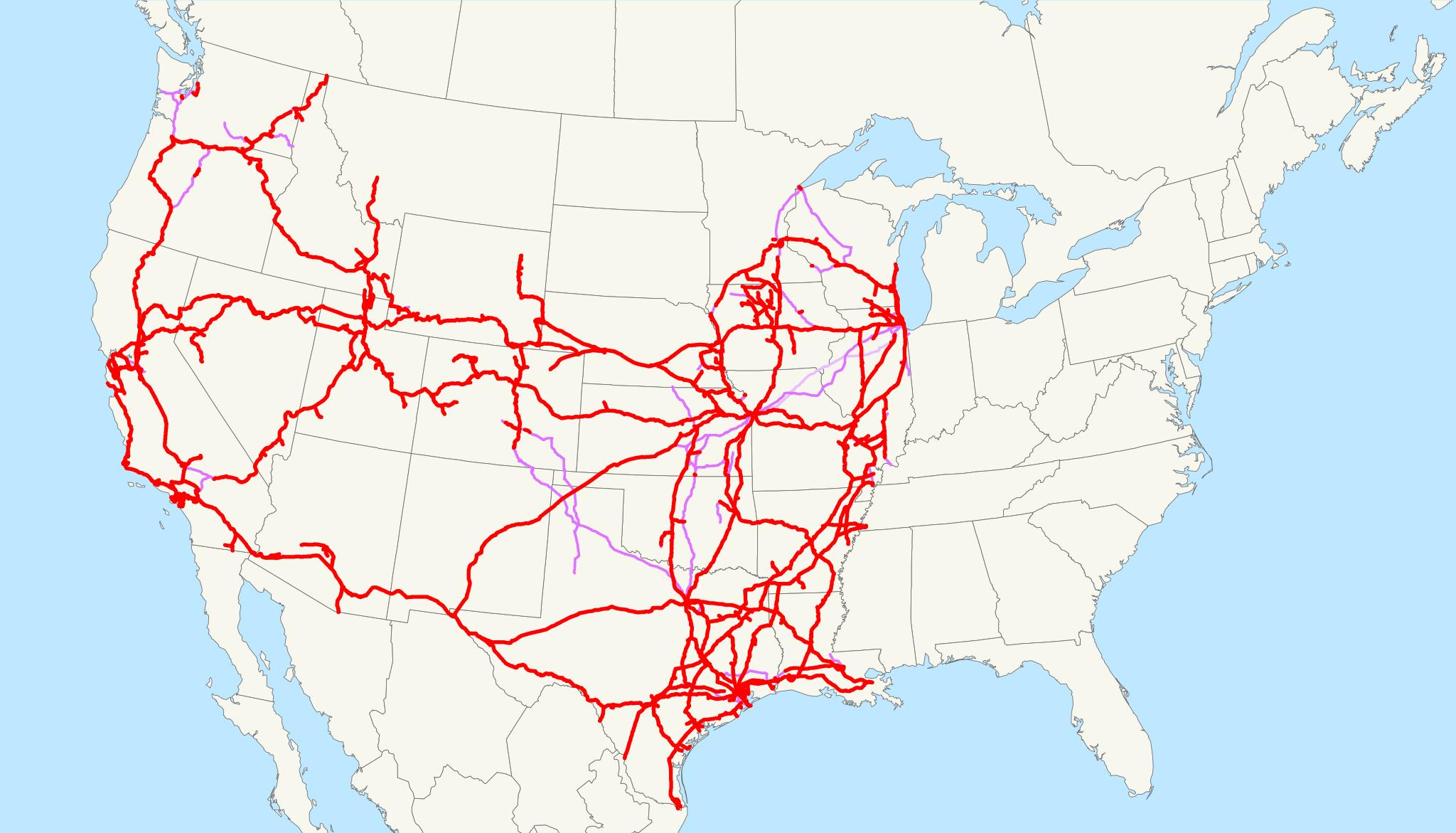
Union Pacific Railroad system map.svg This is map of the Union Pacific Railroad as of with trackage rights in purple the special ChicagoKansas City intermodal trackage rights are lighter Email me if you would like copy of the GIS data created modified from Bureau of Transportation Statistics North American Transportation Atlas Data