
Related Images


Download:
| Tiny | 114x128 | View | Download |
| Small | 228x256 | View | Download |
| Medium | 457x512 | View | Download |
| Large | 914x1024 | View | Download |
| Original | 4480x5019 | View | Download |
This image was acquired from
wikimedia. It was marked as Public Domain or CC0 and is free to use. To verify, go to the source and check the information there.
Looking for more info about this image?
Try a Google Reverse Image Search for it.
Try a Google Reverse Image Search for it.
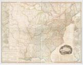
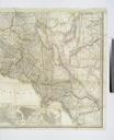
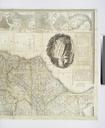
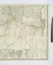
Keywords from Image Description:
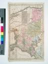
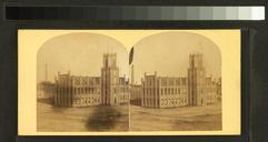
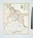
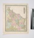
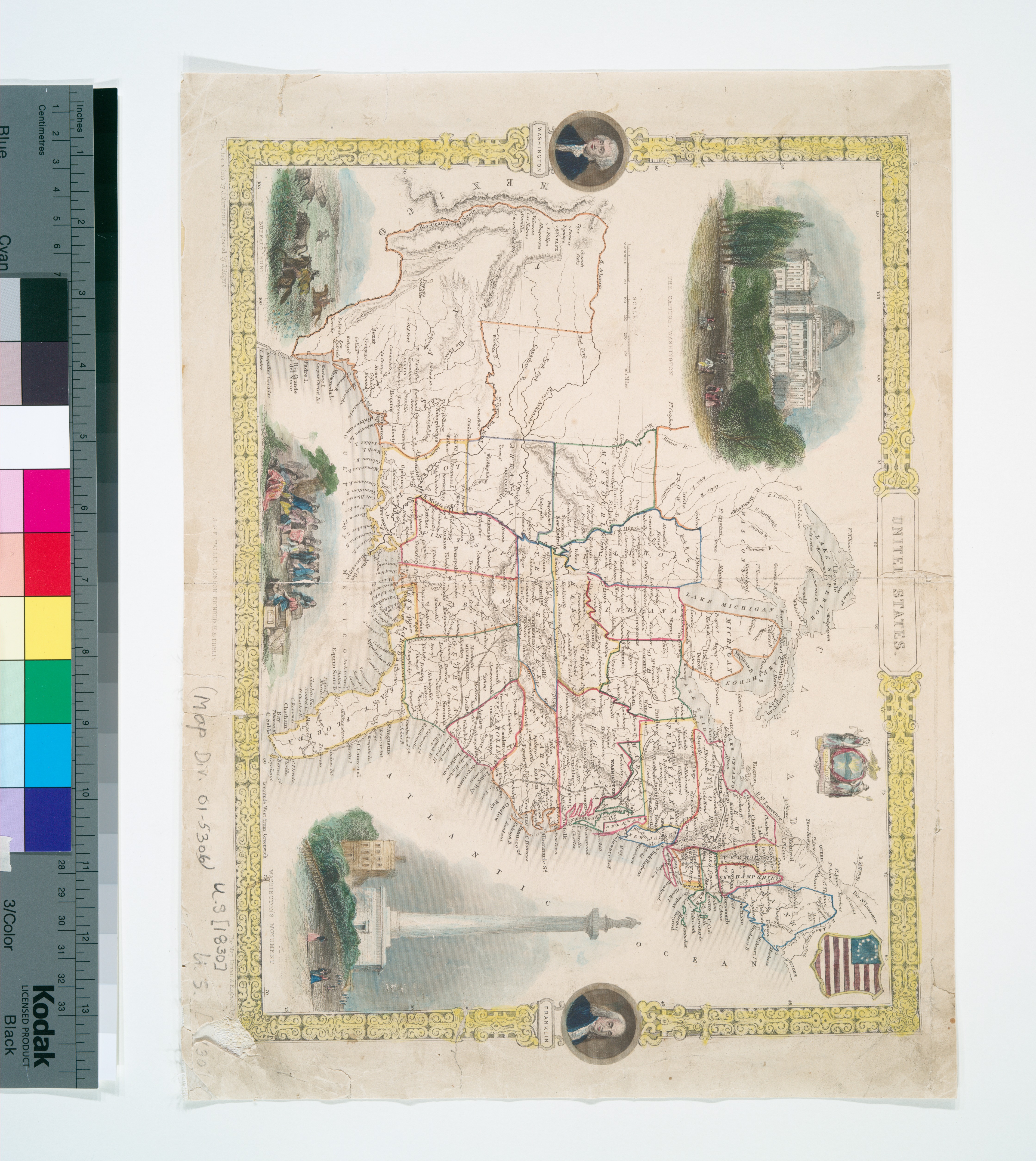
United States NYPL b. en Among illustrations on this map is one in upper left corner entitled The Capitol Washington Differs from similar map in that the Western Missouri New Mexico and Nebraska Territories are not shown and Texas' northernmost border is drawn at the Arkansas River National Endowment for the Humanities Grant for