Related Images


Download:
| Tiny | 205x128 | View | Download |
| Small | 410x256 | View | Download |
| Medium | 821x512 | View | Download |
| Original png | 1599x996 | View | Download |
| Original as jpg | 1599x996 | View | Download |
This image was acquired from
wikimedia. It was marked as Public Domain or CC0 and is free to use. To verify, go to the source and check the information there.
Looking for more info about this image?
Try a Google Reverse Image Search for it.
Try a Google Reverse Image Search for it.
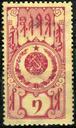
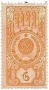
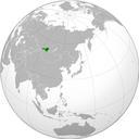
Keywords from Image Description:
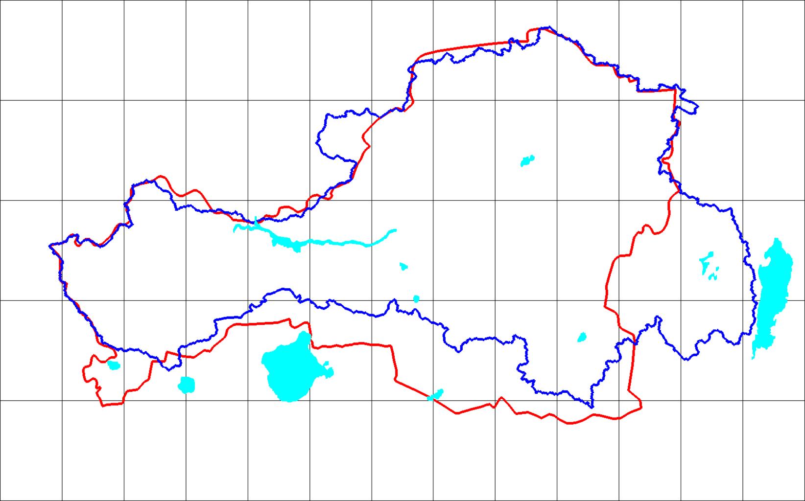
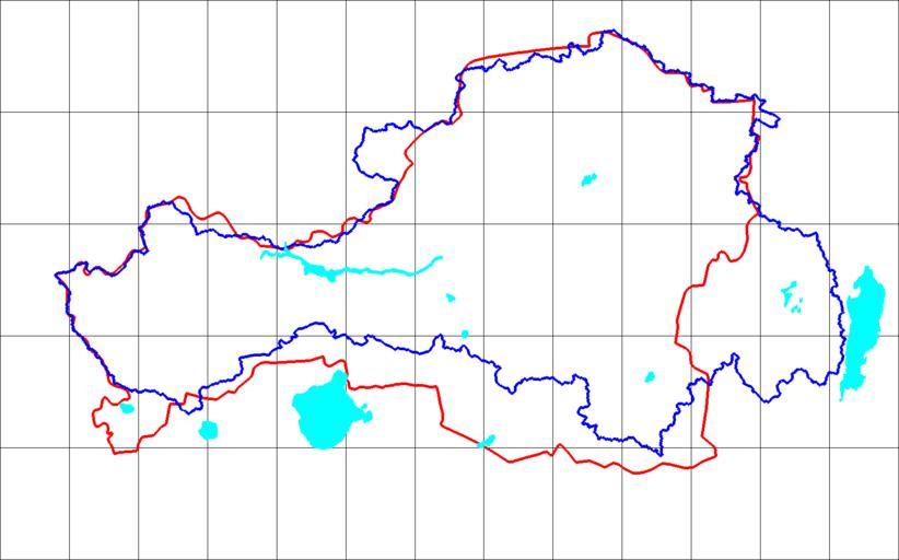
UryankhayTuva AO. en Blue line is the Uriankhay border line reconstructed using SRTM mission DEM as upper Yenisey watershed area plus upper Us and Kantegir river valleys Red line is the Tuva Autonomous Oblast boundary line reprojected and vectorized from the Soviet atlas issue with boundaries as of own Bogomolov PL top left corner