Related Images


Download:
| Tiny | 128x128 | View | Download |
| Small | 256x256 | View | Download |
| Medium | 512x512 | View | Download |
| Original | 1024x1024 | View | Download |
This image was acquired from
wikimedia. It was marked as Public Domain or CC0 and is free to use. To verify, go to the source and check the information there.
Looking for more info about this image?
Try a Google Reverse Image Search for it.
Try a Google Reverse Image Search for it.
Keywords from Image Description:
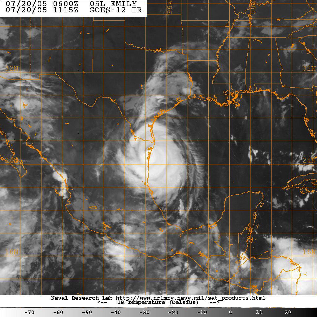
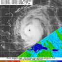
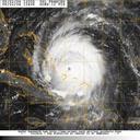
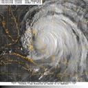
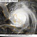
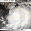
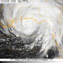
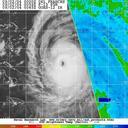
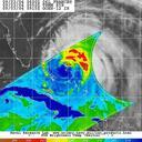
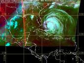
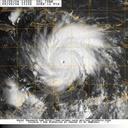
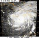
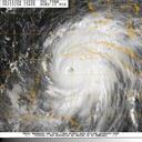
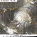
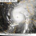
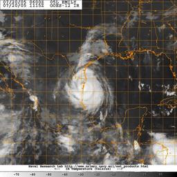
US Navy NW Satellite image taken from the GOES satellite of Hurricane Emily. en Gulf of Mexico July Satellite image taken from the GOES satellite of Hurricane Emily At EDT GMT the storm's center was miles southeast of Brownsville Texas and moving westnorthwest at slow mph kph Emily is dangerous category three hurricane on