Related Images


Download:
| Tiny | 85x128 | View | Download |
| Small | 171x256 | View | Download |
| Medium | 342x512 | View | Download |
| Large | 685x1024 | View | Download |
| Original png | 1878x2805 | View | Download |
| Original as jpg | 1878x2805 | View | Download |
This image was acquired from
wikimedia. It was marked as Public Domain or CC0 and is free to use. To verify, go to the source and check the information there.
Looking for more info about this image?
Try a Google Reverse Image Search for it.
Try a Google Reverse Image Search for it.
Keywords from Image Description:
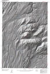
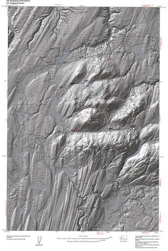
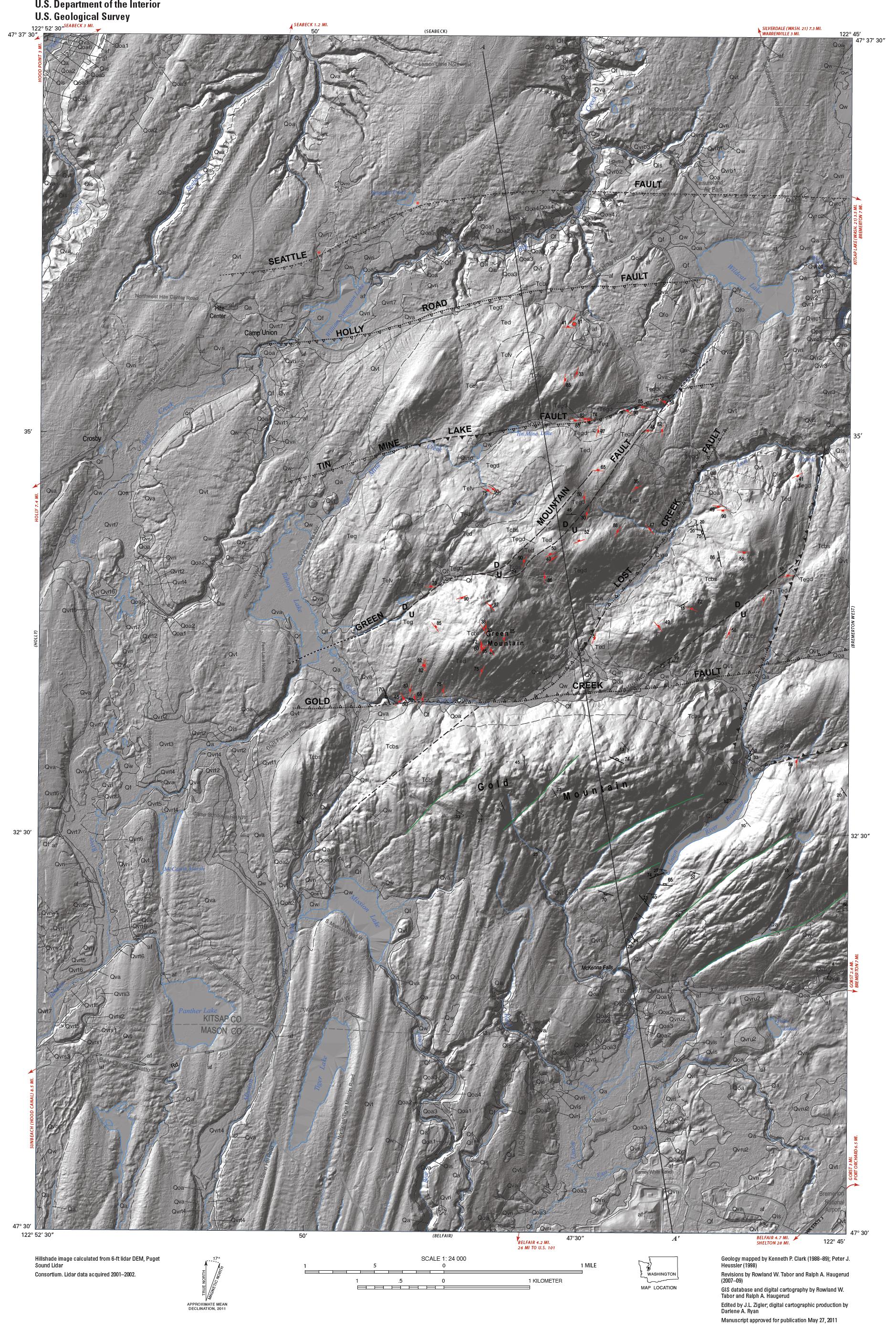
USGS Seattle Fault Kitsap County. en USGS LIDAR map of Kitsap County Washington in Open File Report Cropped map labeled Scientific Investigations Map USGS OpenFile Report usgs gov Rowland Tabor Ralph Haugerud Peter Haeussler and Kenneth Clark other versions PDUSGov Uploaded with Blue Hills Washington LIDAR images