
Related Images


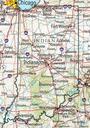
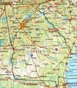
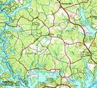
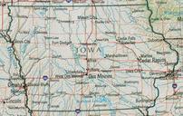

Download:
| Tiny | 177x128 | View | Download |
| Small | 354x256 | View | Download |
| Medium | 708x512 | View | Download |
| Large | 1416x1024 | View | Download |
| Original png | 2336x1689 | View | Download |
| Original as jpg | 2336x1689 | View | Download |
This image was acquired from
wikimedia. It was marked as Public Domain or CC0 and is free to use. To verify, go to the source and check the information there.
Looking for more info about this image?
Try a Google Reverse Image Search for it.
Try a Google Reverse Image Search for it.
Keywords from Image Description:
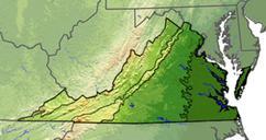
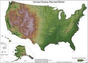
Uspaintedrelief. painted relief map of the United States showing shaded topographic information Using Geological Survey data and published by the Natural Resources Conservation Service The color scheme for the shading was done by Karl Musser PDUSGov Topographic maps of the United States Topographic shading