
Related Images


Download:
| Tiny | 199x128 | View | Download |
| Small | 399x256 | View | Download |
| Medium | 798x512 | View | Download |
| Large | 1597x1024 | View | Download |
| Original | 6161x3950 | View | Download |
This image was acquired from
wikimedia. It was marked as Public Domain or CC0 and is free to use. To verify, go to the source and check the information there.
Looking for more info about this image?
Try a Google Reverse Image Search for it.
Try a Google Reverse Image Search for it.
Keywords from Image Description:
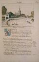
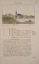
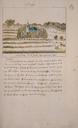
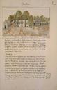
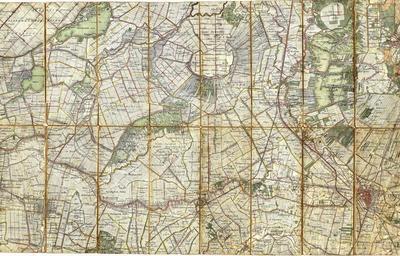
Utrecht . nl Topografische kaart van het gebied tussen Utrecht Waddinxveen Leimuiden en Hilversum uit Volgens de bijschriften aan de voorzijde van de kaart is het gebied verkend in waarna de kaarten zijn bijgewerkt in en own Maurits Vrij te gebruiken auteursrecht verlopen PDold Old maps of Utrecht Old maps of North Holland