
Related Images


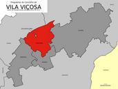


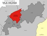
Download:
| Tiny | 201x128 | View | Download |
| Small | 402x256 | View | Download |
| Original svg | 434x276 | View | Download |
| Original as jpg | 434x276 | View | Download |
This image was acquired from
wikimedia. It was marked as Public Domain or CC0 and is free to use. To verify, go to the source and check the information there.
Looking for more info about this image?
Try a Google Reverse Image Search for it.
Try a Google Reverse Image Search for it.
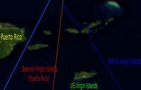
Keywords from Image Description:
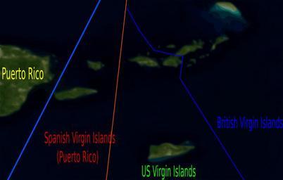
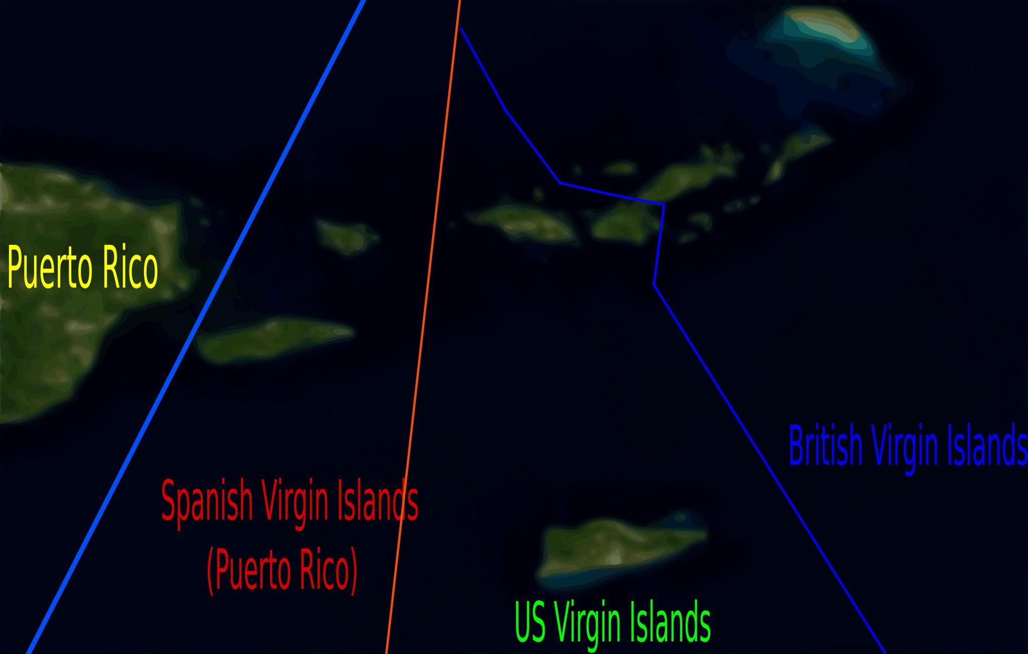
VIMap.svg en Self created map defining the regions of the Virgin Islands Uses vectorised Blue Marble Sattelite image by NASA own RaviC PDNASA Translation possible Virgin Islands Satellite pictures of islands