Related Images


Download:
| Tiny | 170x128 | View | Download |
| Small | 341x256 | View | Download |
| Medium | 682x512 | View | Download |
| Large | 1365x1024 | View | Download |
| Original tiff | 7011x5258 | View | Download |
| Original as jpg | 7011x5258 | View | Download |
This image was acquired from
wikimedia. It was marked as Public Domain or CC0 and is free to use. To verify, go to the source and check the information there.
Looking for more info about this image?
Try a Google Reverse Image Search for it.
Try a Google Reverse Image Search for it.
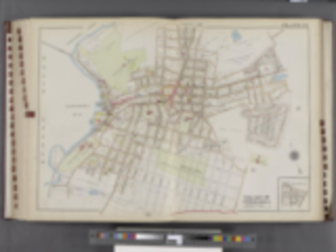
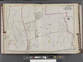
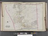
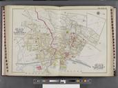
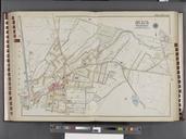
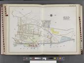
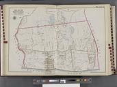
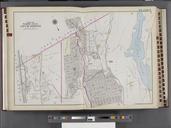
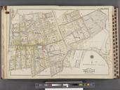
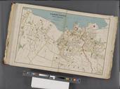
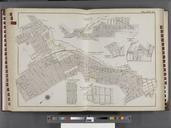
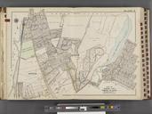
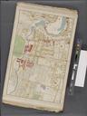
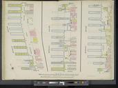
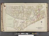
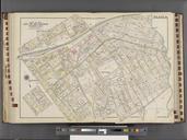
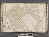
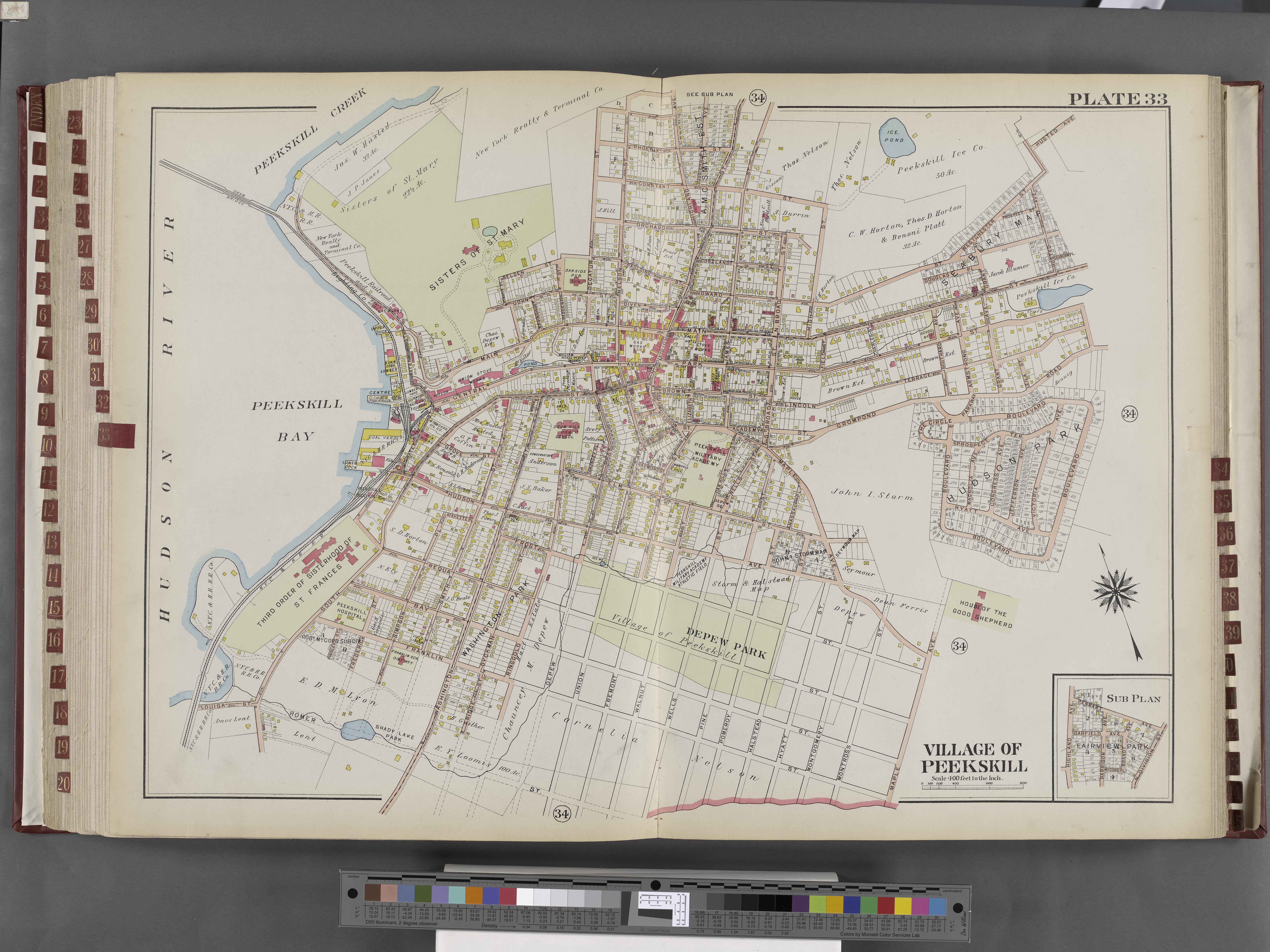
Keywords from Image Description:
Westchester V. Double Page Plate No. Map bounded by Hudson River Husted Ave. Boulevard Maple Ave. NYPL. Westchester Double Page Plate No Map bounded by Hudson River Husted Ave Boulevard Maple Ave Atlases of the United States New York Atlas of Westchester County New York from actual surveys and official plans By and Bromley