Related Images


Download:
| Tiny | 129x128 | View | Download |
| Small | 259x256 | View | Download |
| Medium | 519x512 | View | Download |
| Large | 1038x1024 | View | Download |
| Original | 5799x5718 | View | Download |
This image was acquired from
wikimedia. It was marked as Public Domain or CC0 and is free to use. To verify, go to the source and check the information there.
Looking for more info about this image?
Try a Google Reverse Image Search for it.
Try a Google Reverse Image Search for it.
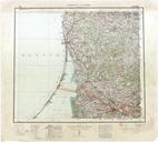
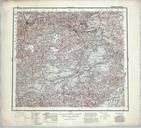
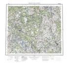
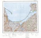
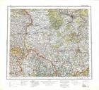
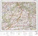
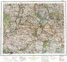
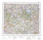
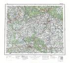
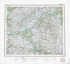
Keywords from Image Description:
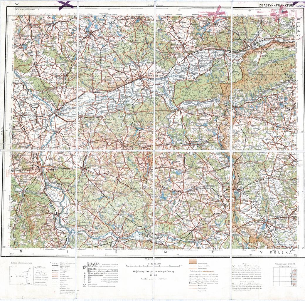
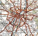
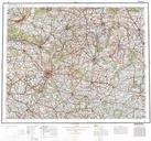
WIG Mapa Operacyjna Polski ZbszyFrankfurt . Operational map of Poland and neighbouring countries region ZbszyFrankfurt Scale of Mapa Operacyjna Polski region ZbszyFrankfurt Skala amzp pl php cat WIG Mapy archiwalne Polski Creator Wojskowy Instytut Geograficzny AnonymousEU in Poland Old maps of the Second Polish Republic