Related Images


Download:
| Tiny | 176x128 | View | Download |
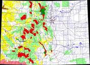
| Small | 353x256 | View | Download |
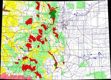
| Medium | 707x512 | View | Download |
| Large | 1414x1024 | View | Download |
| Original png | 3500x2533 | View | Download |
| Original as jpg | 3500x2533 | View | Download |
This image was acquired from
wikimedia. It was marked as Public Domain or CC0 and is free to use. To verify, go to the source and check the information there.
Looking for more info about this image?
Try a Google Reverse Image Search for it.
Try a Google Reverse Image Search for it.
Keywords from Image Description:
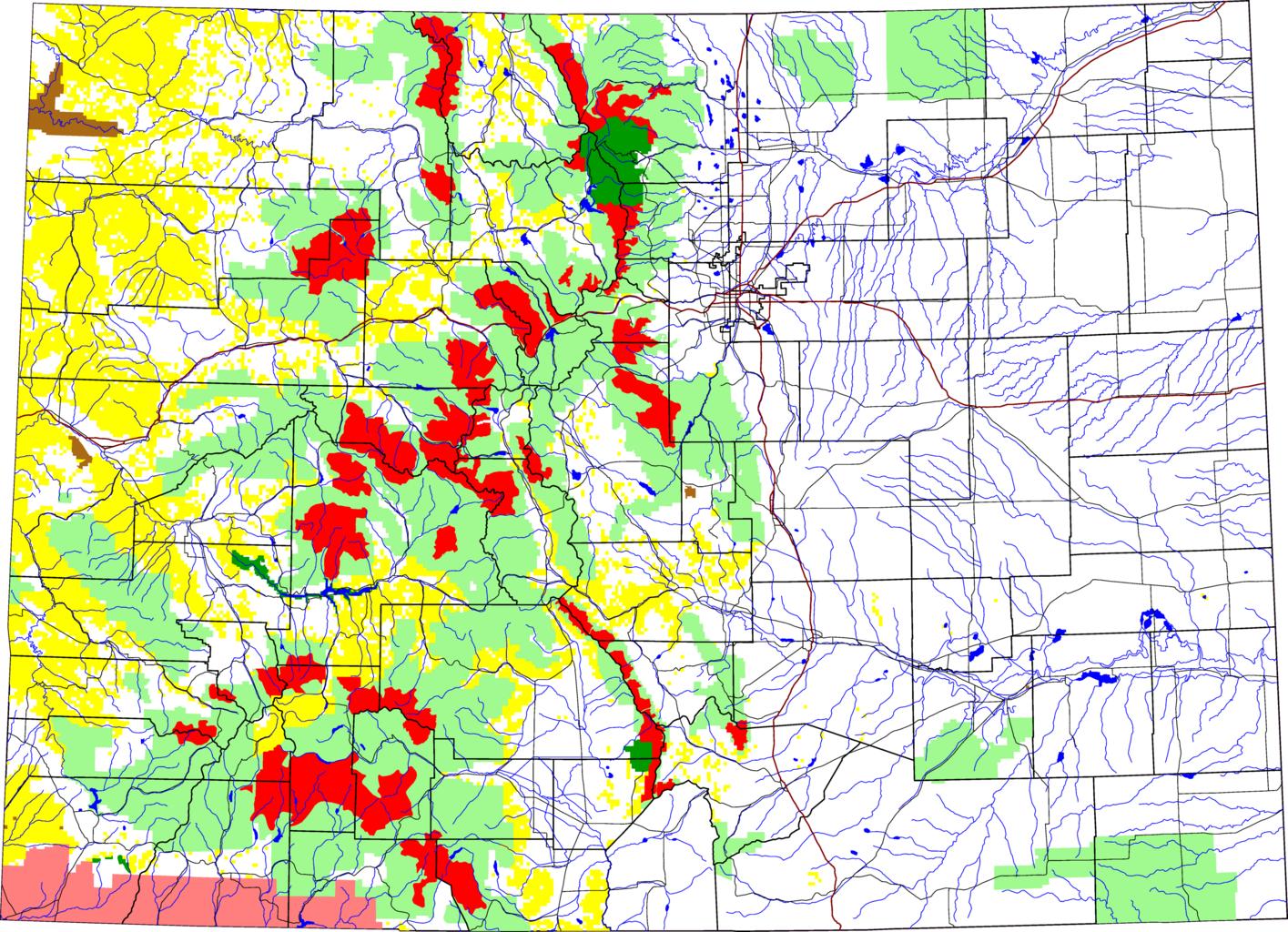
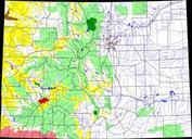
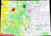
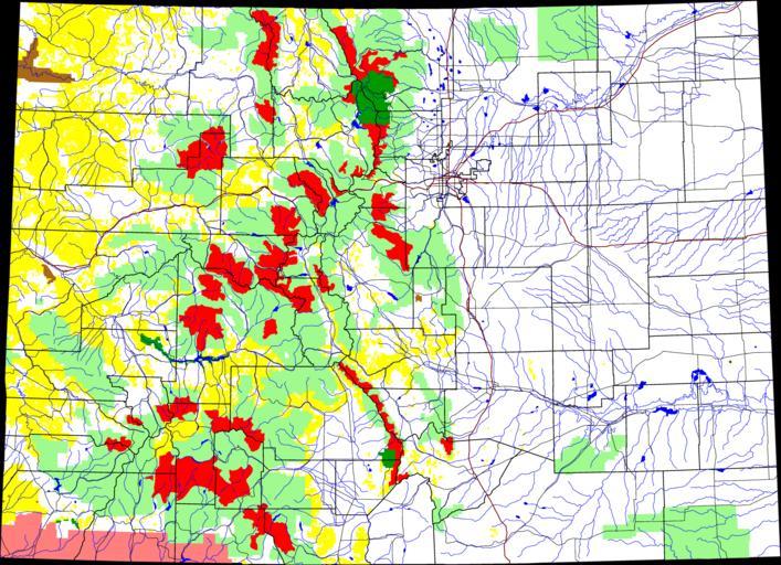
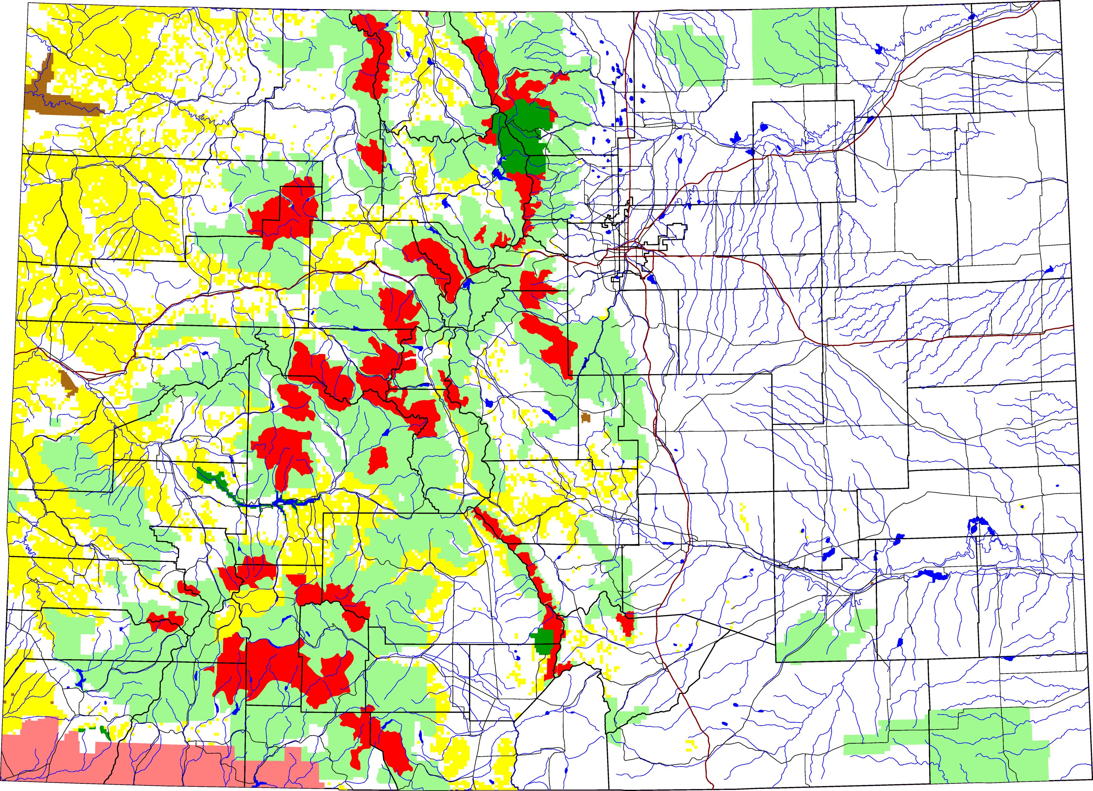
Wilderness Areas in Colorado. map of Colorado with Wilderness Areas highlighted in red The light green is other Forest Service land yellow is BLM land dark green is National Park brown is National Monument or National Historic Site pink is Indian reservation The reddish lines are Interstate Highways David Benbennick made this map