Related Images


Download:
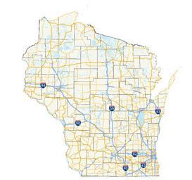
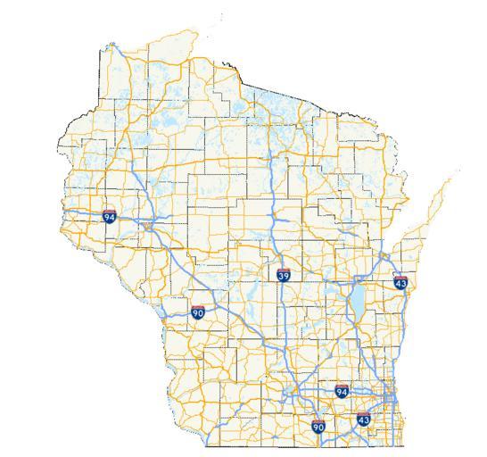
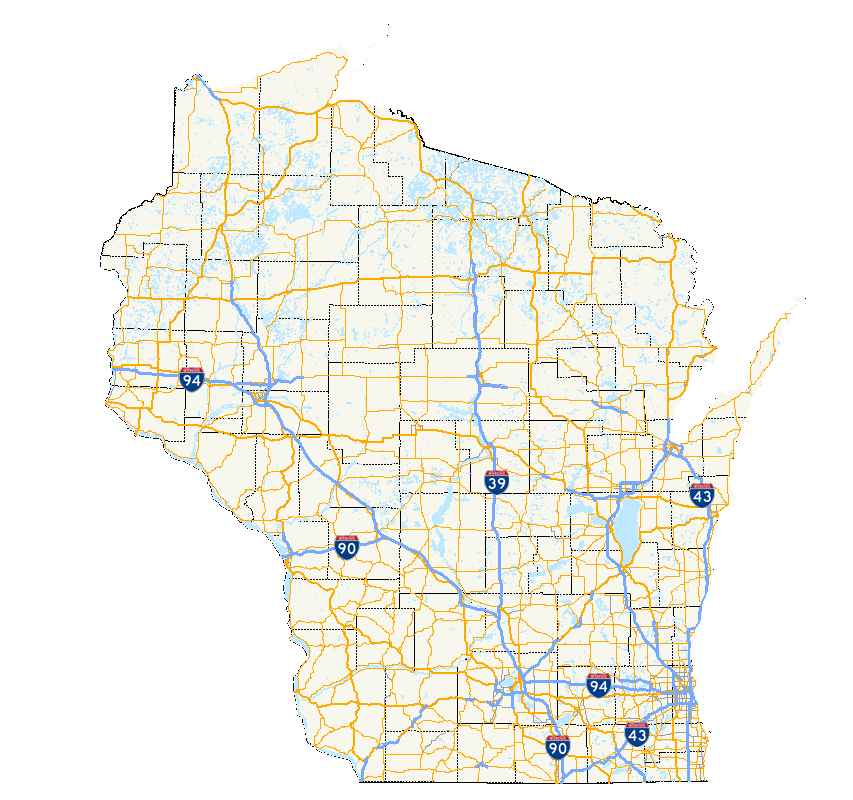
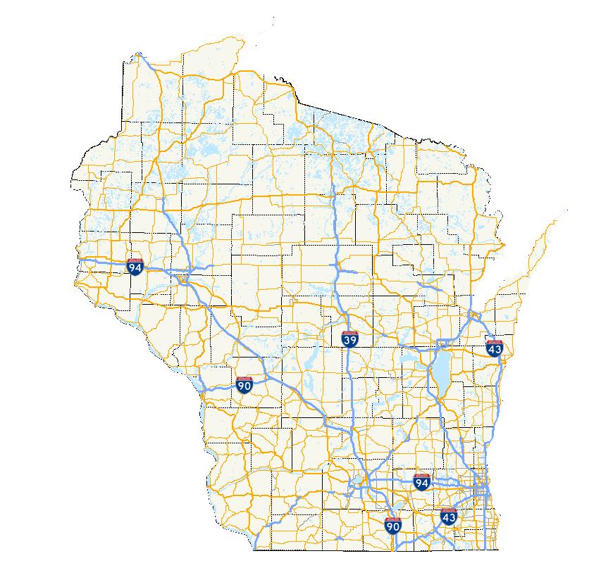
| Tiny | 136x128 | View | Download |
| Small | 272x256 | View | Download |
| Medium | 545x512 | View | Download |
| Original png | 853x800 | View | Download |
| Original as jpg | 853x800 | View | Download |
This image was acquired from
wikimedia. It was marked as Public Domain or CC0 and is free to use. To verify, go to the source and check the information there.
Looking for more info about this image?
Try a Google Reverse Image Search for it.
Try a Google Reverse Image Search for it.
Keywords from Image Description:
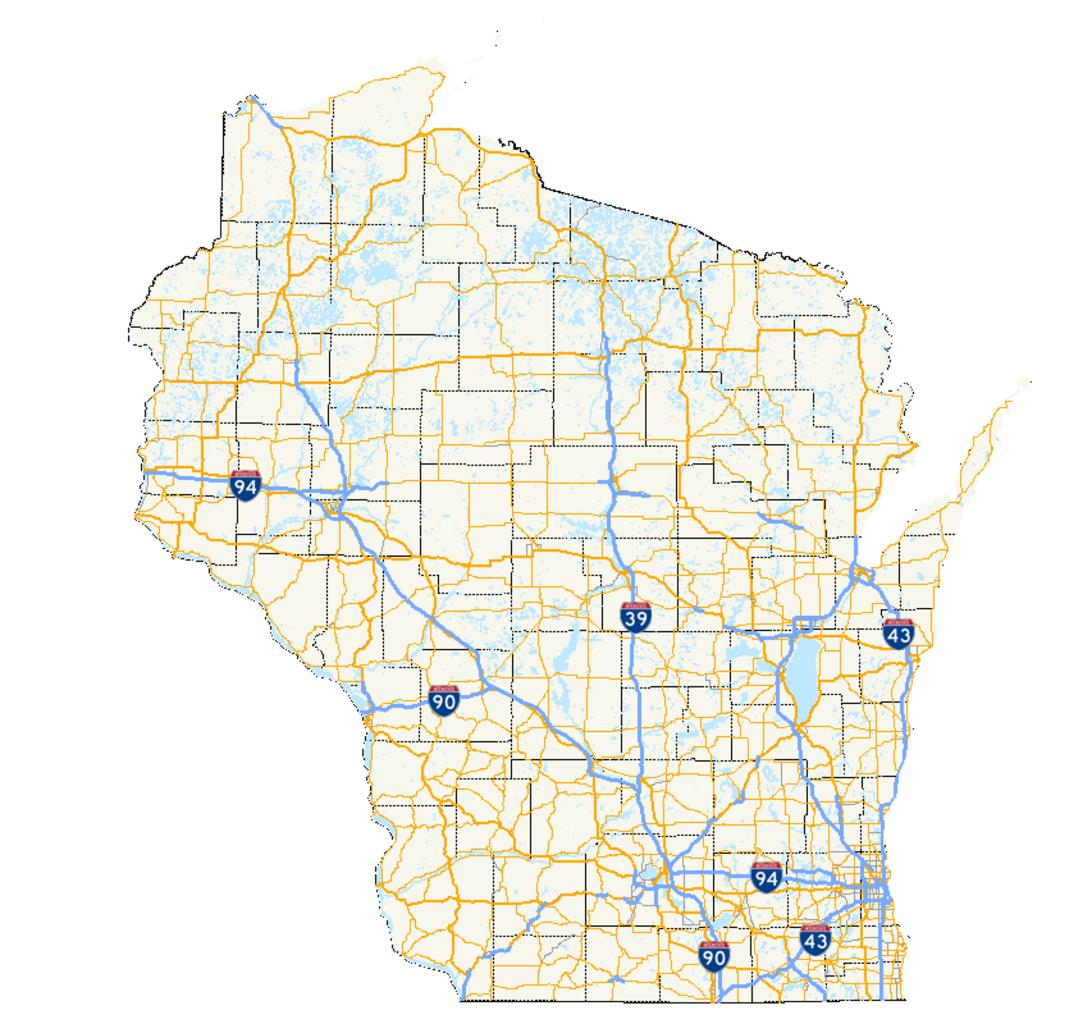
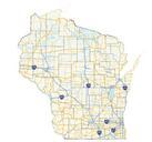
Wisconsinoverall. complete layout of the Wisconsin highway system Limited Access roads marked in blue expressways thick orange Interstates roughly marked Own work using Quantum GIS based on data collected from census gov html the Census Bureau the county outlines and fhwa dot gov the Federal Highway Administration the roads