Related Images


Download:
| Tiny | 170x128 | View | Download |
| Small | 341x256 | View | Download |
| Medium | 682x512 | View | Download |
| Large | 1365x1024 | View | Download |
| Original | 4000x3000 | View | Download |
This image was acquired from
wikimedia. It was marked as Public Domain or CC0 and is free to use. To verify, go to the source and check the information there.
Looking for more info about this image?
Try a Google Reverse Image Search for it.
Try a Google Reverse Image Search for it.
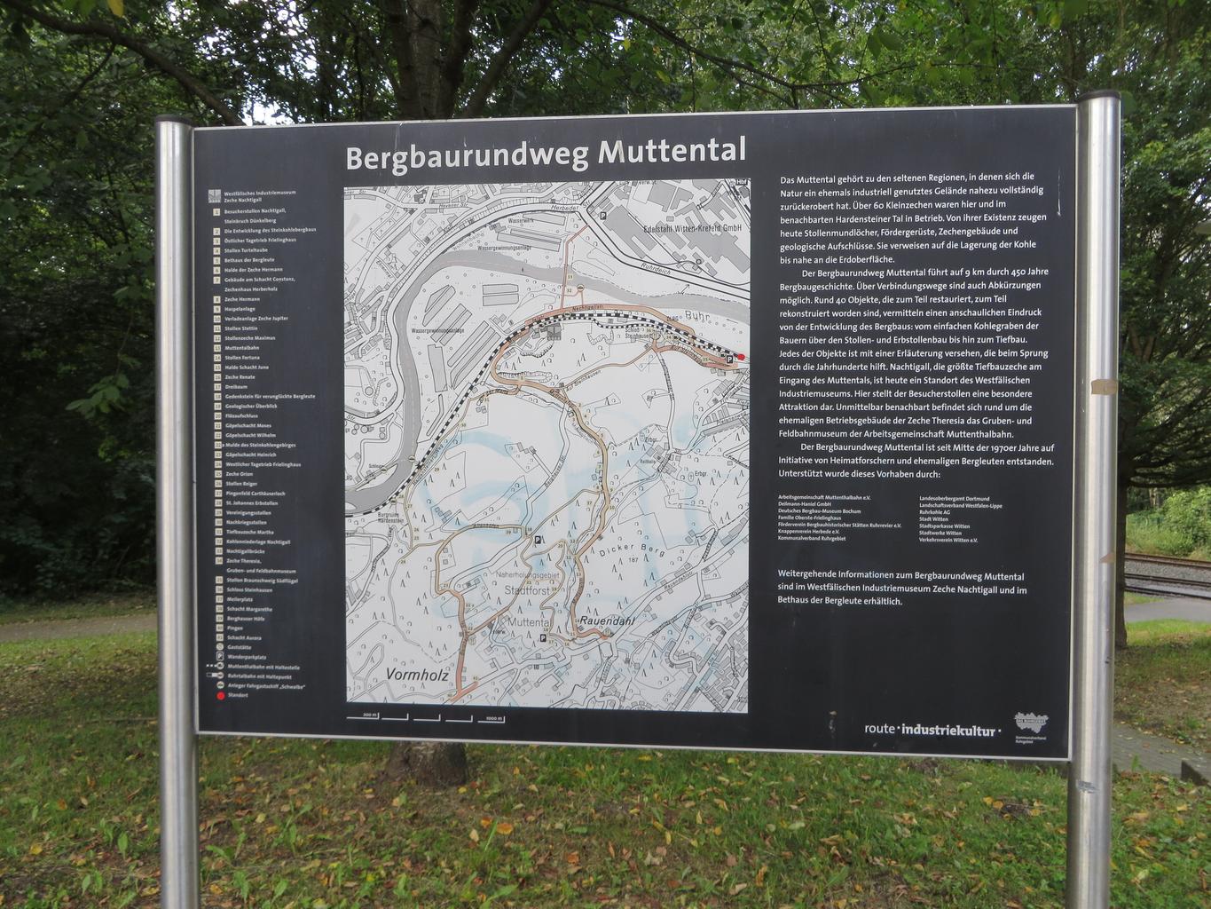
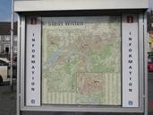
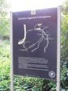
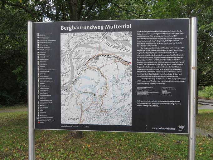
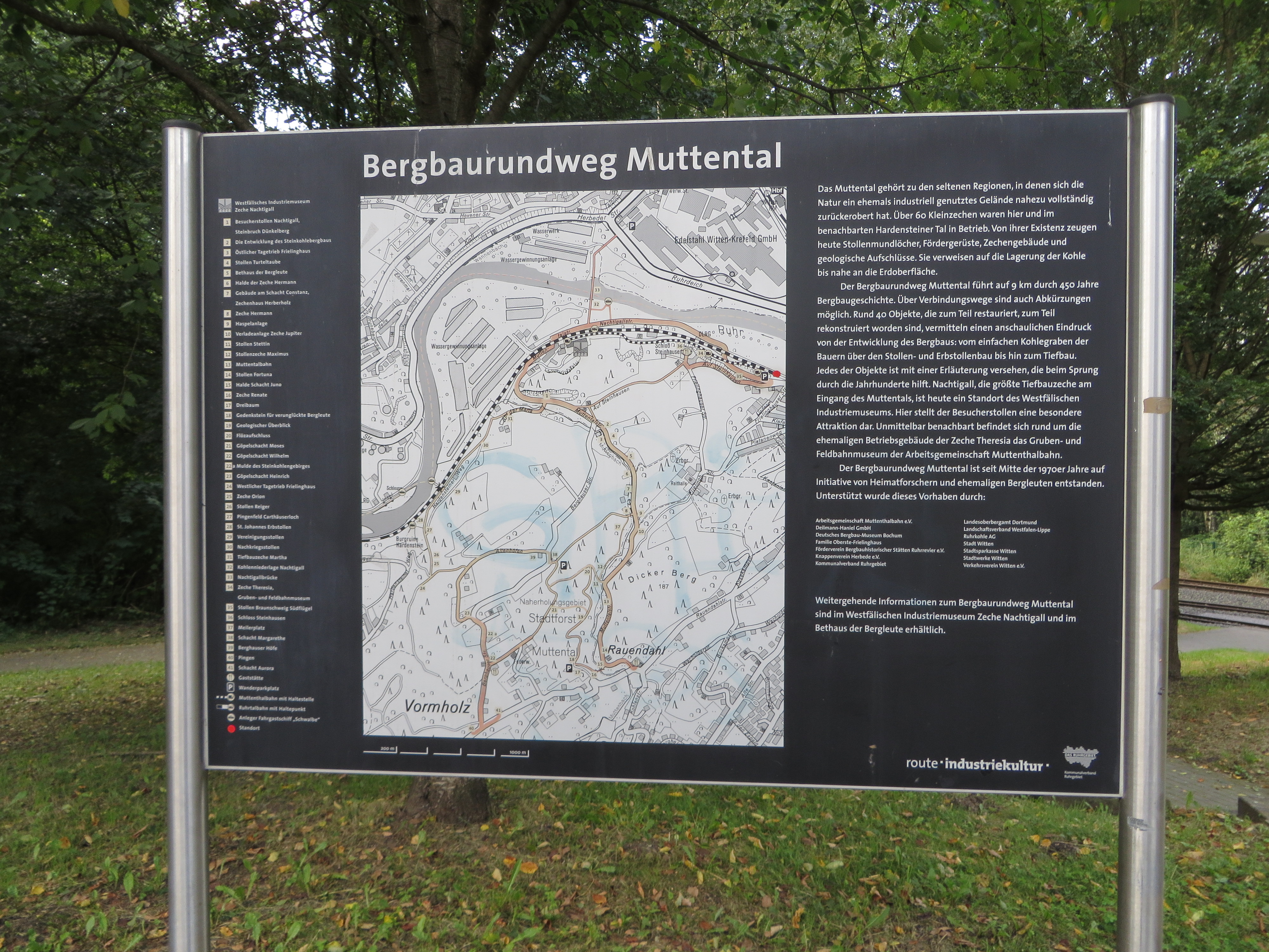
Keywords from Image Description:
Witten Karte Bergbaurundweg Muttental Parkplatz Nachtigallstrae. de Karte des Bergbauwanderwegs Muttental in Witten en Map of Mining hiking trail Muttental in Witten Germany eo Mapo de Minmigravojo Muttental en Witten Germanio own Reclus cczero FoPGermany Uploaded with Bergbauwanderweg Muttental Signs of Route der Industriekultur