Related Images


Download:
| Tiny | 111x128 | View | Download |
| Small | 223x256 | View | Download |
| Medium | 447x512 | View | Download |
| Large | 894x1024 | View | Download |
| Original png | 933x1068 | View | Download |
| Original as jpg | 933x1068 | View | Download |
This image was acquired from
wikimedia. It was marked as Public Domain or CC0 and is free to use. To verify, go to the source and check the information there.
Looking for more info about this image?
Try a Google Reverse Image Search for it.
Try a Google Reverse Image Search for it.
Keywords from Image Description:
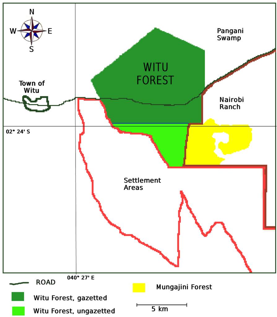
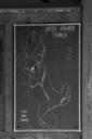
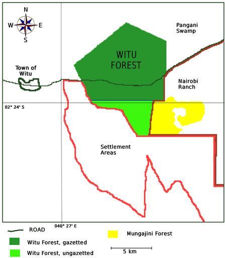
WituForestmapKenya. en Map showing the Witu Forest Kenya with gazetted and ungazetted lands the town of Witu and the relationship to the Nairobi ranch the Mungajini Forest and the Pangani Swamp Based upon data in Wacher Andanje Kipini Wildlife and Botanical Conservancy Feasibility Study the potential role of Kipini Wildlife and Botanical