
Related Images


Download:
| Tiny | 134x128 | View | Download |
| Small | 269x256 | View | Download |
| Medium | 538x512 | View | Download |
| Large | 1076x1024 | View | Download |
| Original png | 1344x1278 | View | Download |
| Original as jpg | 1344x1278 | View | Download |
This image was acquired from
wikimedia. It was marked as Public Domain or CC0 and is free to use. To verify, go to the source and check the information there.
Looking for more info about this image?
Try a Google Reverse Image Search for it.
Try a Google Reverse Image Search for it.
Keywords from Image Description:
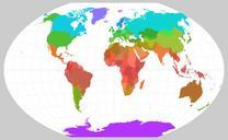
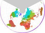
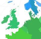
World borders sat tilt. nl December Staatkundige kaart van de omgeving van de Nederland gebaseerd op een satellietprojectie satelliet in een lage baan camera onder een hoek van rad worldborders shp The worldborders zip dataset is Shapefile of the world's international borders derived by Schuyler Erle from public domain sources