
Related Images


Download:
| Tiny | 128x128 | View | Download |
| Small | 256x256 | View | Download |
| Original gif | 500x500 | View | Download |
| Original as jpg | 500x500 | View | Download |
This image was acquired from
wikimedia. It was marked as Public Domain or CC0 and is free to use. To verify, go to the source and check the information there.
Looking for more info about this image?
Try a Google Reverse Image Search for it.
Try a Google Reverse Image Search for it.
Keywords from Image Description:
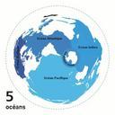
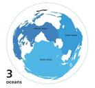
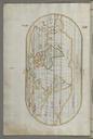
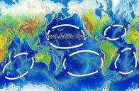
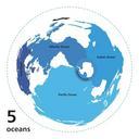
World ocean map. Animated world ocean map exhibiting various oceans Azimuthal distance projection map is based on world map from btinternet Ese htm this online Java tool by Henry Bottomley and altered using CorelDraw et al Map is centered on rotated CCW North Pole is to the left Ocean boundaries per International Hydrographic