
Related Images


Download:
| Tiny | 243x128 | View | Download |
| Original png | 281x148 | View | Download |
| Original as jpg | 281x148 | View | Download |
This image was acquired from
wikimedia. It was marked as Public Domain or CC0 and is free to use. To verify, go to the source and check the information there.
Looking for more info about this image?
Try a Google Reverse Image Search for it.
Try a Google Reverse Image Search for it.
Keywords from Image Description:
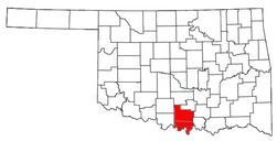
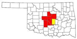
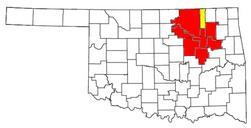
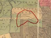
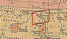
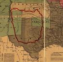
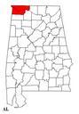
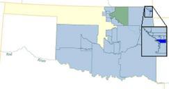
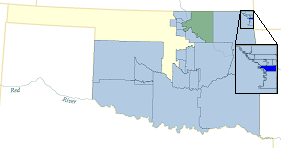
WyandotteOTSA. locator map Wyandotte Oklahoma Tribal Statistical Area made this image using fairly slight modifications to an original in the public domain By all means let's keep it in the public domain QuartierLatin Oct UTC en Category Oklahoma maps Transferred from org en Original uploader was QuartierLatin at org