
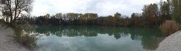
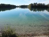
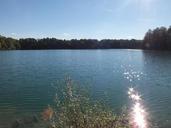
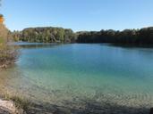
Related Images


Download:
| Tiny | 329x128 | View | Download |
| Small | 658x256 | View | Download |
| Original png | 1142x444 | View | Download |
| Original as jpg | 1142x444 | View | Download |
This image was acquired from
wikimedia. It was marked as Public Domain or CC0 and is free to use. To verify, go to the source and check the information there.
Looking for more info about this image?
Try a Google Reverse Image Search for it.
Try a Google Reverse Image Search for it.
Keywords from Image Description:
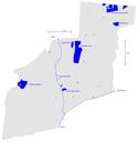
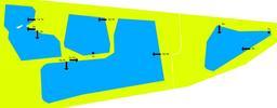
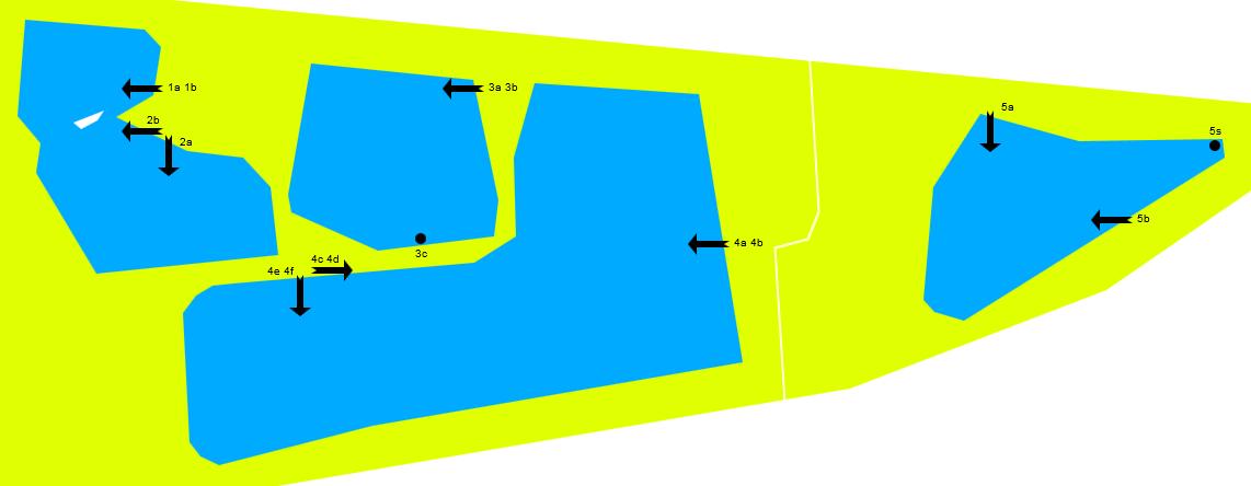
Wzwz LaWoK uqp MAP. en schematic map of unnamed quarry ponds of Karlsfeld including approximate position and direction of images LaWoK upq de schematische Karte der namenlosen Baggerseen in Karlsfeld mit ungefhrer Position und Richtung der Photos LaWoK upq en created with arcor de de htm publik domain requires JavaScript and Canvas